


DENVER — Late tonight, tour snow from earlier will clear out and should end across most areas by around midnight. Even after the snow stops, very cold temperatures will settle in overnight. Roads are likely to remain very icy and slippery, especially through the overnight, so travel may be slow and hazardous.

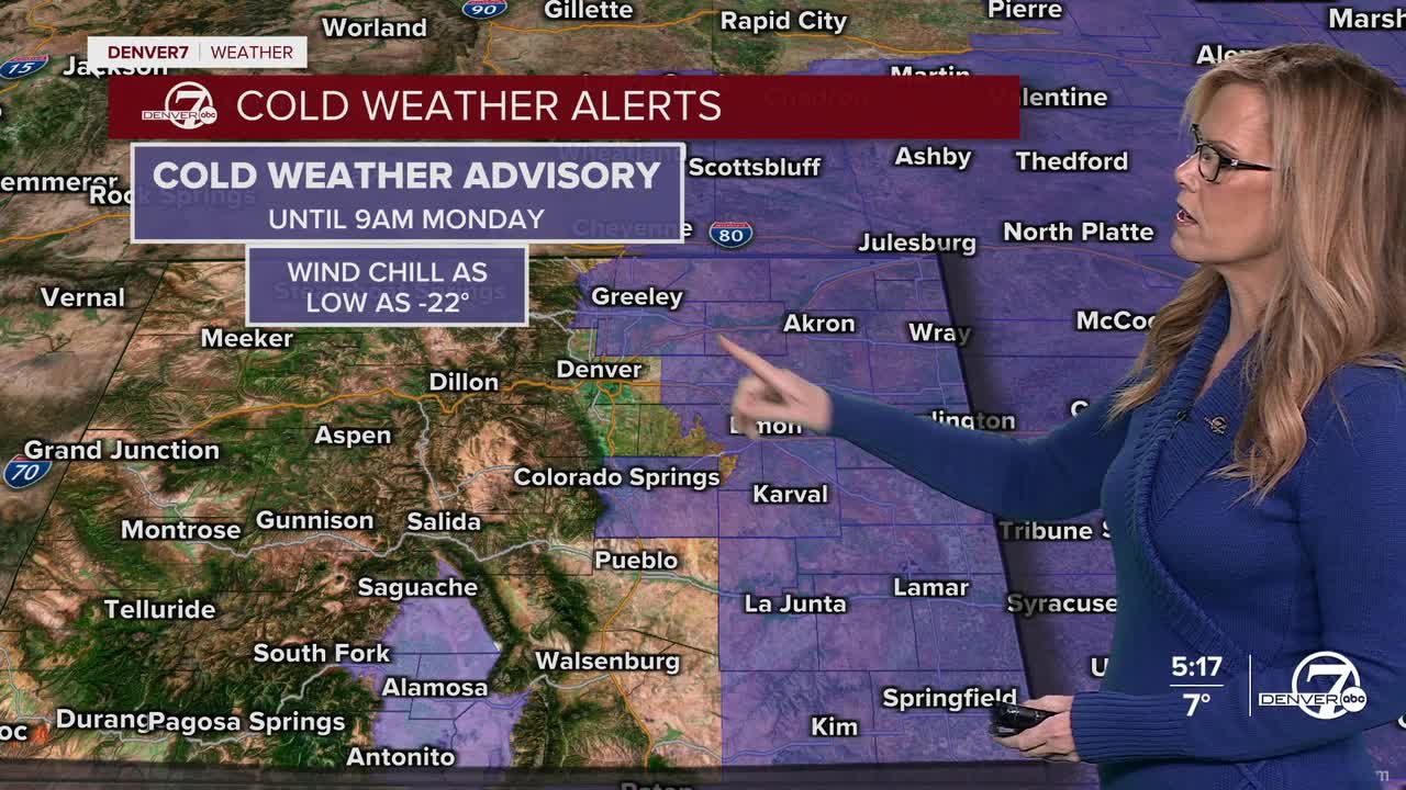
Many locations across the plains and the I-25 corridor will drop below zero, and this bitter cold will linger through Monday morning. Since roads will be very icy, so allow extra time to get where you are going.
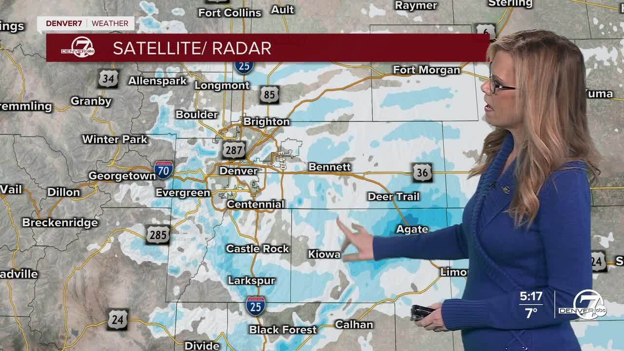
On Monday, conditions will turn drier, but the cold morning will transition to a somewhat milder afternoon. Downslope winds will help temperatures climb into the upper 30s to mid-40s on the plains. However, gusty winds will develop in and near the foothills, especially Monday morning. With light, fluffy snow on the ground, areas of blowing snow and poor visibility are possible, particularly along Highway 93.

Monday night through Tuesday will remain mostly dry. A weak disturbance may bring a few light snow showers to the mountains on Tuesday, but most lower elevations will stay dry with seasonable temperatures. Travel impacts outside of the mountains are expected to be minimal during this time.
From Wednesday onward, a warming trend is expected as high pressure builds in. Conditions will stay dry with temperatures rising above normal, especially on the plains. Another weak system could bring a chance of snow to the mountains late Wednesday night into Thursday, but overall, the pattern looks quieter and milder compared to the start of the week.
DENVER WEATHER LINKS: Hourly forecast | Radars | Traffic | Weather Page | 24/7 Weather Stream
Click here to watch the Denver7 live weather stream.
