



DENVER —
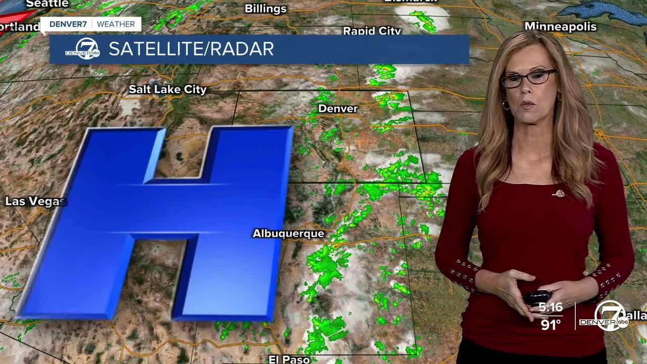
Tonight, a few strong thunderstorms could develop across the northeast plains, especially later this evening. Some of these storms may produce gusty winds and hail, with locally heavy rain possible. Areas closer to the I-25 corridor and farther west will stay mostly dry, although a few isolated showers could pop up.
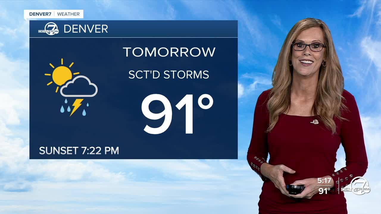
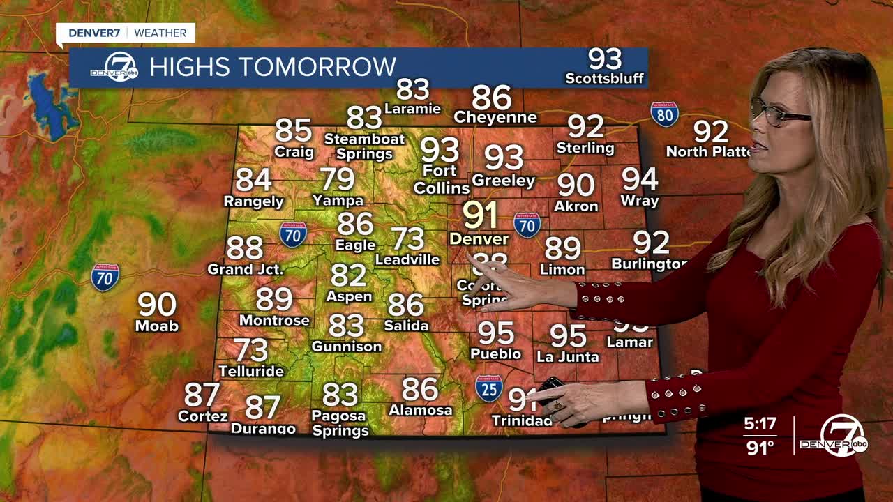
Sunday will bring a slight increase in afternoon showers and thunderstorms as we get a little more moisture into the area. Temperatures will stay very warm, with most lower elevations once again reaching the lower 90s. Storms should remain scattered, but a few could produce brief heavy rain and gusty winds.
Labor Day looks to have the best chance for showers and thunderstorms. A little more upper-level support should help increase storm coverage, especially during the afternoon and evening. Even with the added storm chances, temperatures will remain mostly steady and warm. It's worth keeping an eye on the sky if you have outdoor plans. It will still feel more like summer than early fall across much of the area.
A slight cooldown begins Tuesday as the ridge starts to weaken, though temperatures will still be above normal. That cooler trend may not last long, with warmer weather likely returning later in the week. A few afternoon showers and thunderstorms could stick around, but overall rain chances remain somewhat uncertain.
DENVER WEATHER LINKS: Hourly forecast | Radars | Traffic | Weather Page | 24/7 Weather Stream
Click here to watch the Denver7 live weather stream.
