


DENVER — Rinse and repeat! We're in for another warm and windy day along the Front Range, with temperatures soaring close to 70 degrees. It doesn't look like we'll tie a record high like we did Tuesday, but it will be about 20 degrees above normal.

Denver International Airport hit 71 degrees Tuesday afternoon, tying the previous record high of 71 degrees, last set in 1995.
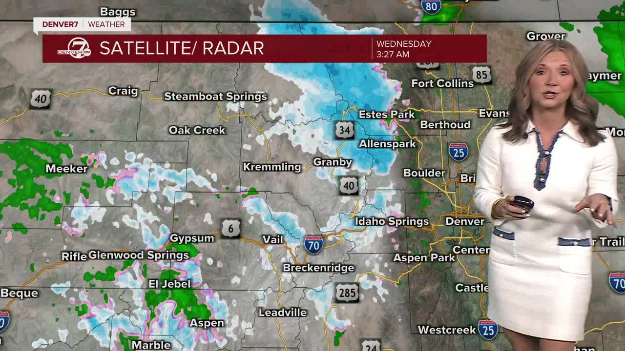
It's once again a tale of two states across Colorado — from high fire danger on the plains to heavy snow in the mountains!
A Winter Storm Warning and Advisory are in effect until midnight. Rabbit Ears Pass could see 10 to 20 inches of total snow, while the northern Front Range mountains could pick up 8 to 16 inches. Areas along Interstate 70 will get about 4 to 8 inches of new snow.
A Red Flag Warning goes back into effect at 10 a.m. until 6 p.m. for gusty winds up to 55 mph, temperatures near 70 degrees and low humidity values between 5 and 10%.
A few isolated rain showers are possible across northeastern Colorado Wednesday evening but don't count on much accumulation.
As this storm moves out late Wednesday, sunny skies move in for the rest of the work week. Highs will stay above average in the low to mid 60s to wind down the month of February. So far, it looks like March comes in like a lamb.
DENVER WEATHER LINKS: Hourly forecast | Radars | Traffic | Weather Page | 24/7 Weather Stream
Click here to watch the Denver7 live weather stream.
