

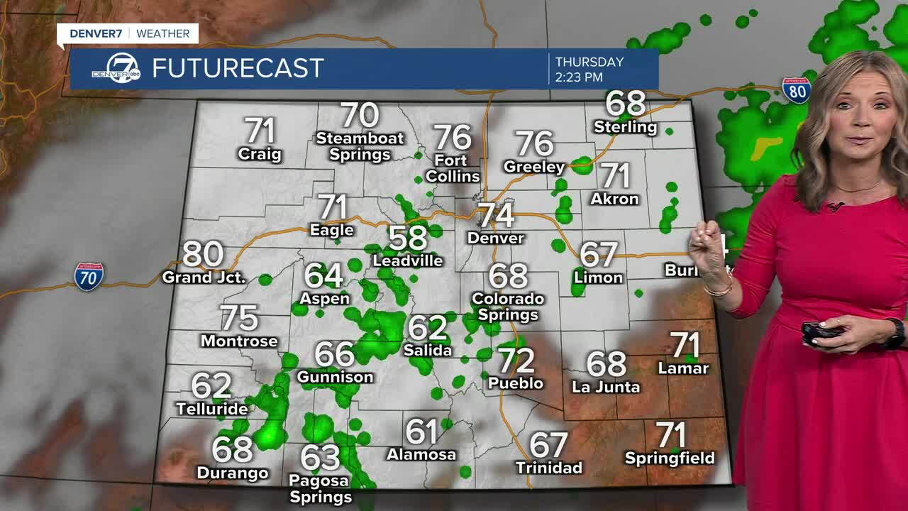


It was a cool and cloudy start to the fall season and that trend continues today!
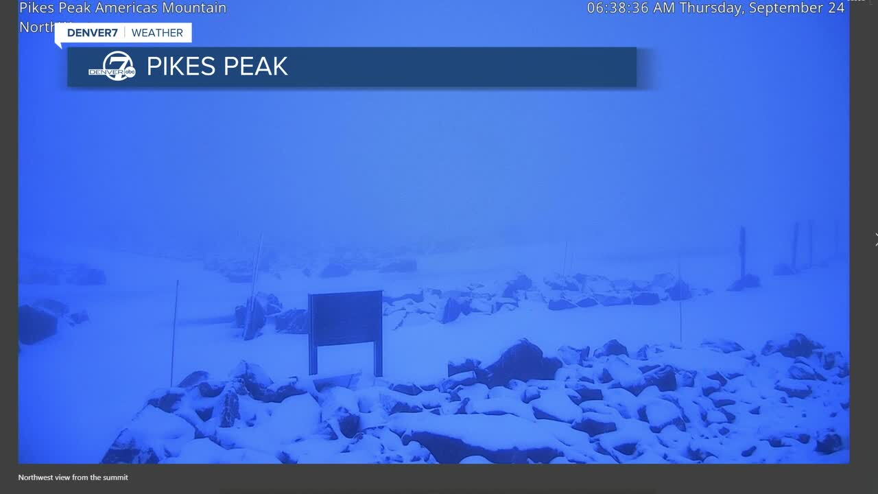
We saw a few spotty showers across the Metro Area for the morning commute, with heavier rain on the Eastern Plains. It switched over to snow on some of the high mountain passes and we saw more than just a dusting on Pikes Peak!
Those showers will gradually shift east but more scattered showers are possible this afternoon and evening. Daytime highs will stay in the upper 60s to low 70s under mostly cloudy skies.
Heavier rain will hit parts of southwestern Colorado tonight and some of that rain could switch to snow over the high mountain passes through early Friday.
Friday brings another chance for showers and storms as another storm moves into Colorado. The risk of severe weather remains low, but expect wet roads and more lightning/thunder for the Friday evening commute. Temperatures warm back into the mid- to upper 70s and that's very seasonal for this time of year.
The pattern flips for the first weekend of fall, with warmer and drier weather returning to much of the state. We'll see more sunshine on Saturday and Sunday, with highs in the 80s. We'll see low 80s by kickoff at Sunday's Broncos game!
Another storms is set to roll through early next week. Temperatures will dip starting Monday, with more rain on the way!
DENVER WEATHER LINKS: Hourly forecast | Radars | Traffic | Weather Page | 24/7 Weather Stream
Click here to watch the Denver7 live weather stream.
