


DENVER — Did we skip winter all together? It felt like spring across the Front Range again today and the unseasonably warm weather sticks around through the weekend.
Look for partly cloudy skies tonight with overnight lows in the low to mid 30s in the Denver metro area.
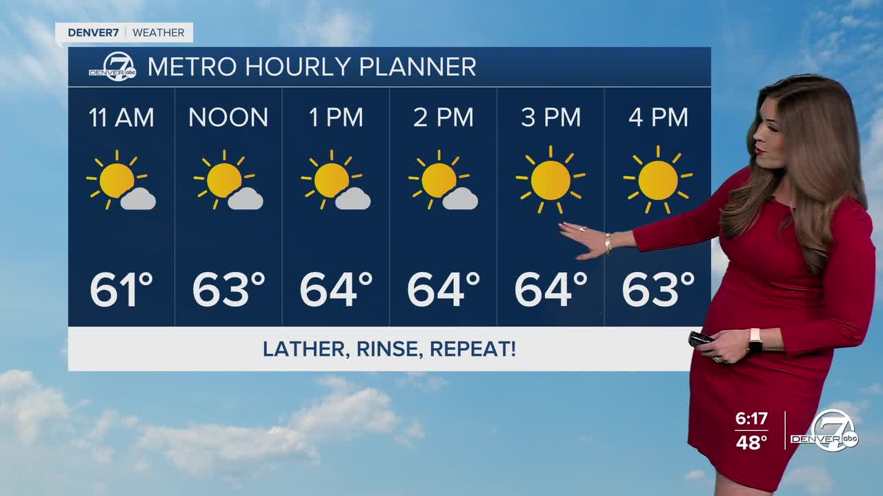
The sunny skies are back early Saturday along with the February heat. Look for daytime highs in the mid to upper 60s. Some high clouds will move in during the afternoon as a weak system slides through, and winds will pick up out of the west to northwest.
Conditions will be ripe for high fire danger especially along the northeastern plains where a Red Flag Warning is in effect from 11am to 5pm Saturday. Wind gusts could top 35mph along with humidity values as low as 14-percent.
Sunday looks like the calmest and nicest day of this stretch of weather. Skies will be mostly sunny, winds ease up, and temperatures remain mild with highs in the 60s across eastern Colorado. It’ll be a great day to be outside. Just keep in mind fuels remain dry.
Monday continues the warmer-than-normal trend, but conditions turn a bit more active. A larger system approaching from the west will increase winds aloft, which could mean breezy or even windy conditions at the surface.
By Tuesday through Thursday, the weather pattern shifts and becomes more unsettled. Temperatures cool slightly but stay just above normal, and multiple chances for precipitation move in. It finally looks like the mountains will see some meaningful snow Wednesday into Thursday, while the Denver metro could get a rain/snow mix Thursday evening.
DENVER WEATHER LINKS: Hourly forecast | Radars | Traffic | Weather Page | 24/7 Weather Stream
Click here to watch the Denver7 live weather stream.
