


DENVER — Temperatures early Sunday morning will start out in the 40s, which is pretty warm compared to our last few nights.
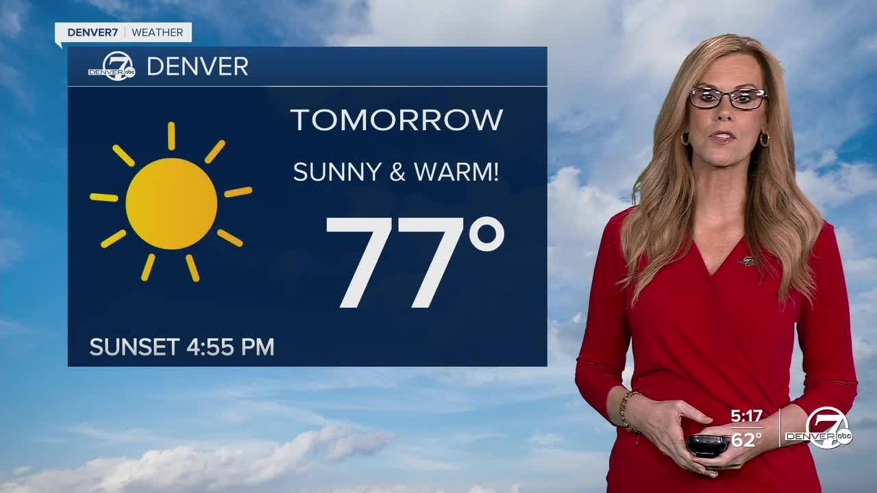
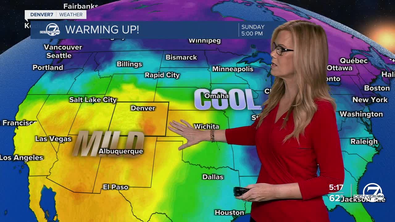
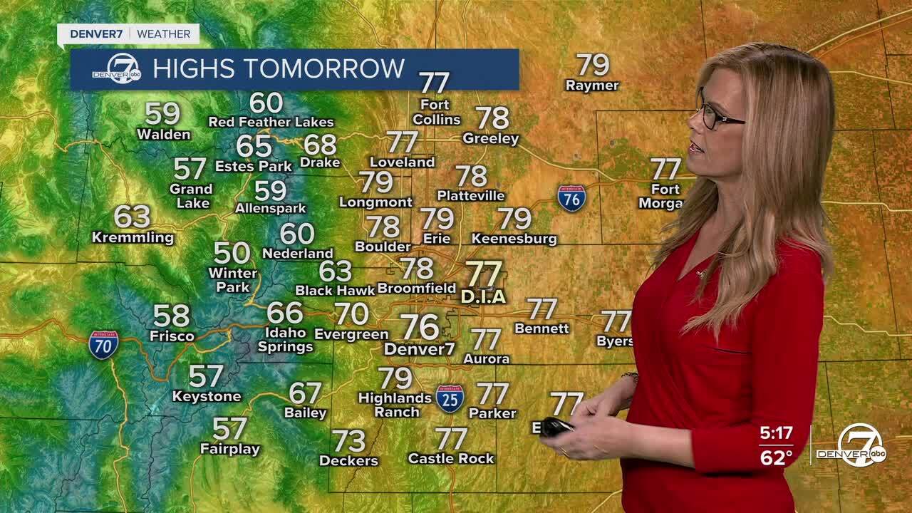
Sunday will feel more like early fall than November, with temperatures climbing into the mid to upper 70s across the plains. Denver may even tie or break its record high of 78 degrees, last set in 2008. Sunshine and light downsloping winds will make for a warm, pleasant afternoon, perfect for outdoor plans. However, the combination of warmth, dry air, and a bit of wind will lead to increased fire danger across the northern plains, especially in Logan, Sedgwick, and Phillips counties.
A quick cooldown arrives Monday as a weak weather system passes through the area. It won’t bring rain or snow, but it will knock daytime highs down by about 10 to 15 degrees compared to Sunday. After that, temperatures rebound by midweek as a more west-to-east flow returns, keeping conditions warm and dry once again.
Late next week, there’s a small chance of some light mountain precipitation, mainly in the northern ranges. Most of the forecast models have shifted this system farther north, which would mean limited moisture for Colorado. Still, if the system trends back south, those chances could improve. For now, the state stays mostly dry, mild, and calm through much of the upcoming week.
DENVER WEATHER LINKS: Hourly forecast | Radars | Traffic | Weather Page | 24/7 Weather Stream
Click here to watch the Denver7 live weather stream.
