



DENVER - Tonight, scattered showers and thunderstorms will continue, with a few storms potentially becoming strong to severe, mainly across the plains. Storms could also bring some locally heavy rain. Otherwise, expect mostly cloudy skies and mild temperatures, with winds becoming more northwesterly later tonight.
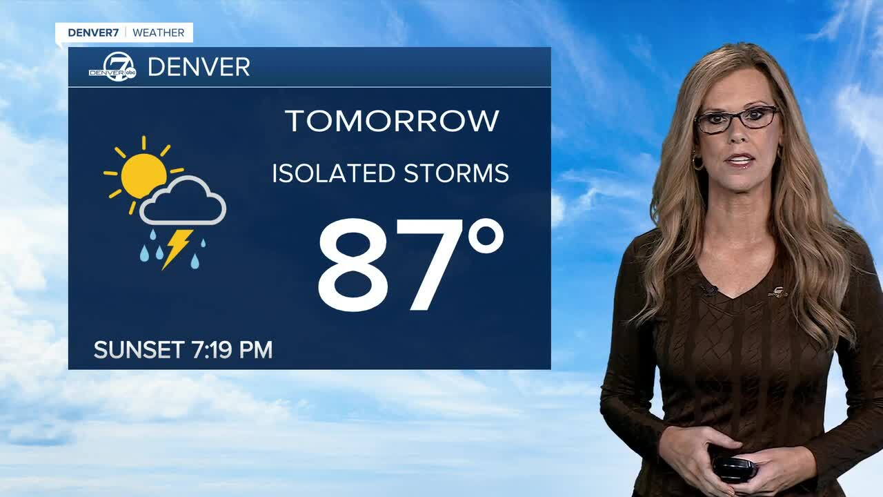
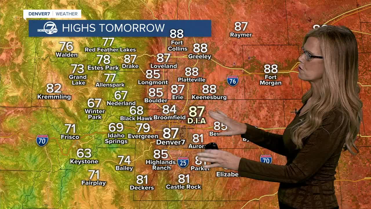
Tuesday will be a little cooler as a weak cold front moves through. Rain and thunderstorm chances will shift mainly to areas along and south of I-70, where there will be enough moisture and instability for some afternoon storms. A few spots could see locally heavy rain.
Wednesday looks to be the coolest day of the week, with highs generally in the low to mid-80s. Most areas should stay dry, although there could still be an isolated afternoon shower or thunderstorm, especially across Elbert and Lincoln Counties.
Things turn hotter and drier Thursday and Friday as moisture decreases and warmer air moves back in. Temperatures should climb back above normal, with mostly dry conditions and plenty of sunshine.
The weather becomes more unsettled again heading into the weekend. A weak front could bring some cooler temperatures and a few showers or storms Saturday, with a more noticeable cooldown likely Sunday into Monday. There could also be another round of stronger thunderstorms and locally heavy rain, although the exact timing is still uncertain.
DENVER WEATHER LINKS: Hourly forecast | Radars | Traffic | Weather Page | 24/7 Weather Stream
Click here to watch the Denver7 live weather stream.
