



Here we go again! Fog is back tonight, and it could make for a slow, low-visibility start to Wednesday, especially across parts of northeastern Colorado. The South Platte River Valley, from Julesburg to Greeley, is the biggest concern, with visibility potentially dropping to just a quarter-mile. Dense fog could spread across much of southern Weld County, while Fort Collins and Longmont also have a chance of fog. Areas farther south and west may stay clear. Fog is expected from around midnight through 9 a.m. Wednesday, and a Dense Fog Advisory may be needed along the I-76 corridor.
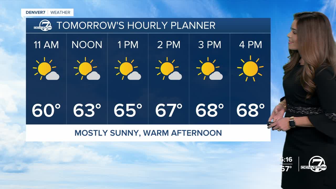
Once the fog clears, the weather settles down. Wednesday and Thursday look dry and fairly pleasant, with temperatures near seasonal averages in the mid to upper 60s in the Denver metro area.
Friday stays mostly quiet, too, although a weak storm system passing across the Texas Panhandle could bring a little precipitation to parts of Lincoln and Washington counties and the central mountains. Most of eastern Colorado should remain dry, with seasonal temperatures and light winds.
Halloween night doesn't look spooky at all in the Denver metro area! Temperatures will sit in the mid to upper 50s from 5pm to 8pm for trick-or-treaters. We'll have partly cloudy skies around the Front Range with a few light showers in the High Country.
The weekend brings a couple of chances for rain and snow in the mountains, but the plains should stay dry. A weak system could produce light mountain rain and snow Saturday, followed by another round of precipitation Sunday into Sunday night as moisture moves in from the Pacific. Snow levels will be high, likely above 9,500 to 10,000 feet, meaning most of the precipitation at lower elevations will fall as rain.
The bigger question is what happens early next week. Forecast models show a larger storm system moving toward Colorado, but its track remains highly uncertain. If it stays east, the plains could remain mostly dry while the northern mountains pick up some snow. A track farther west could bring more widespread precipitation, while a system passing just west of Colorado could set up stronger easterly winds and a more significant precipitation event.
For now, it's too early to pin down the details for Monday and Tuesday. Forecast models are likely to change considerably over the next several days, so stay tuned.
DENVER WEATHER LINKS: Hourly forecast | Radars | Traffic | Weather Page | 24/7 Weather Stream
Click here to watch the Denver7 live weather stream.
