



DENVER — Look for a few lingering showers and storms this evening across the Front Range. We could see a couple of severe storms along the far Eastern Plains later tonight. Otherwise, it'll be a calm and dry night as lows dip into the mid to upper 50s overnight.
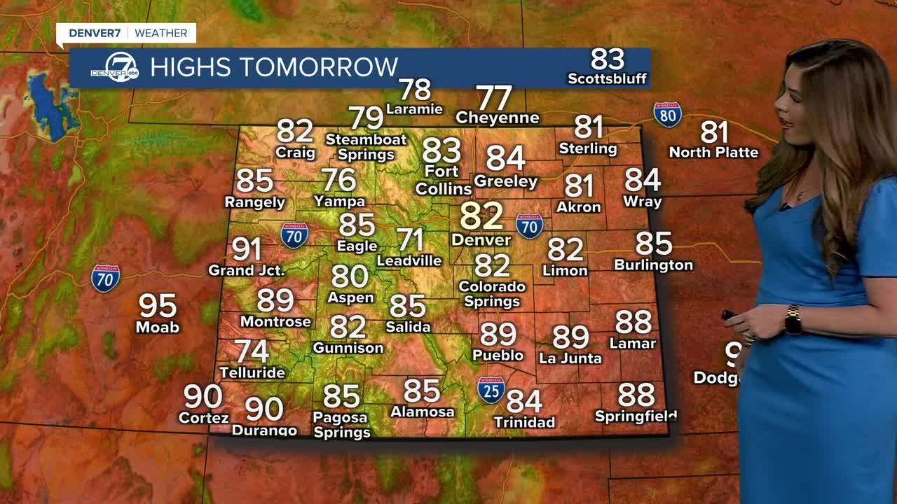
Wednesday looks to be the coolest day of the week, with highs generally in the low to mid-80s. Most areas should stay dry, although there could still be an isolated afternoon shower or thunderstorm, especially along the Southern Front Range.
It gets hotter and drier Thursday and Friday as moisture decreases and warmer air moves back in. Temperatures will climb back into the low 90s, with mostly dry conditions and plenty of sunshine.
The weather becomes more unsettled again heading into the weekend. A weak front could bring some cooler temperatures and a few showers or storms Saturday night into Sunday, with a more noticeable cool down likely early next week. Right now, it looks like upper 70s to low 80s on Monday!
DENVER WEATHER LINKS: Hourly forecast | Radars | Traffic | Weather Page | 24/7 Weather Stream
Click here to watch the Denver7 live weather stream.
