

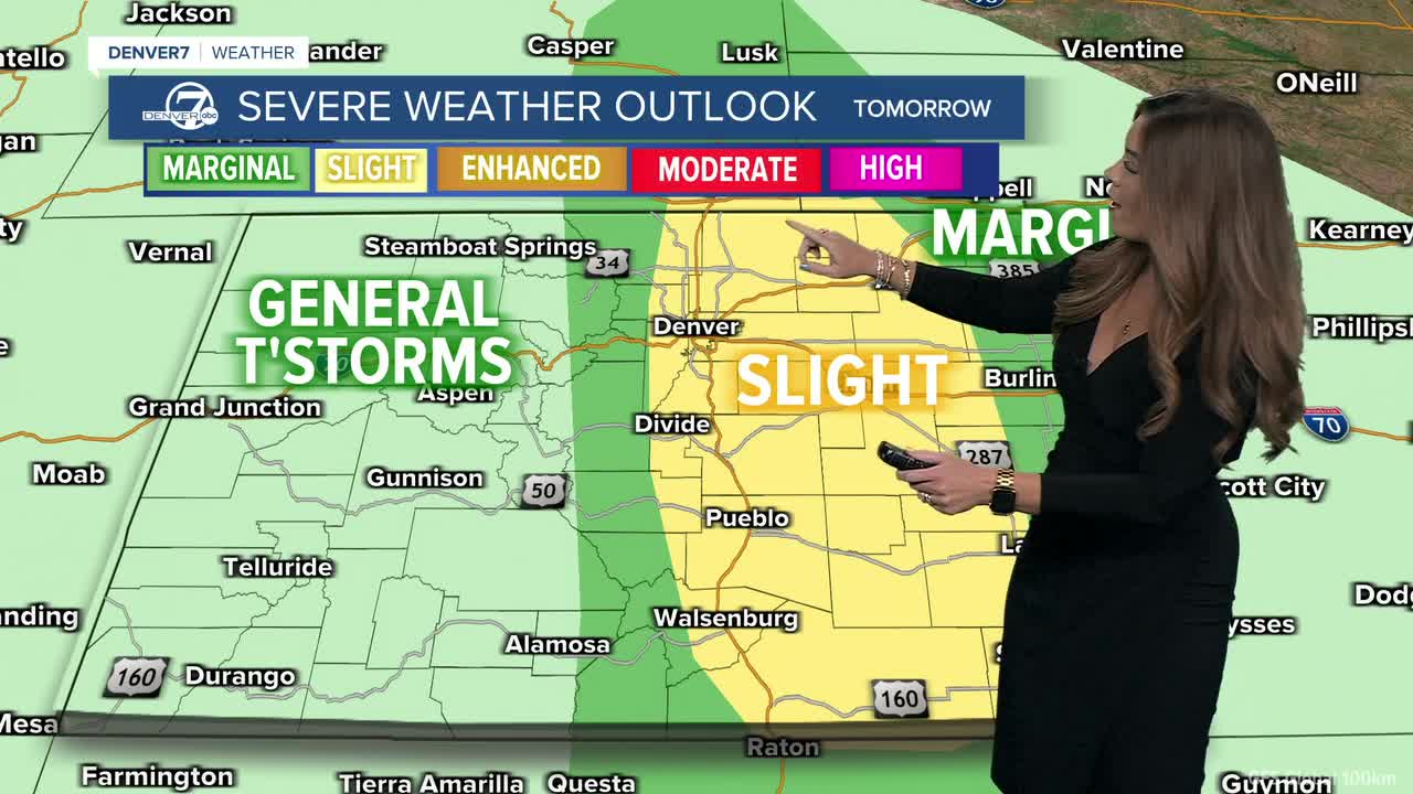


DENVER — We'll wake up to plenty of sunshine Wednesday which will help fuel thunderstorms in the afternoon. The Storm Prediction Center put the Denver metro area and plains under a 'slight' risk of severe weather
Watch Denver7 Meteorologist Danielle Grant's latest forecast below.
We'll wake up to plenty of sunshine Wednesday which will help fuel thunderstorms in the afternoon. The Storm Prediction Center put the Denver metro area and plains under a 'slight' risk of severe weather, a level two of five Wednesday. A few strong to severe storms will fire up around 2 p.m. along the Urban Corridor and then move east across the plains. Large hail and damaging 60+ mph wind gusts will be the biggest threats Wednesday, with most of the severe weather east of I-25.
Daytime highs will stay in the mid-80s Wednesday before the 90-degree heat returns Thursday. Look for a few isolated afternoon storms otherwise skies will stay mostly sunny. A ridge of high pressure moves back over the west, cutting off the monsoon rains and ushering in slightly warmer and drier conditions for the end of the work week.
Crank up the AC or roll the windows down! Friday will be much warmer, as highs climb back into the mid-90s around the Denver metro area and near triple digits on the plains.
Temperatures will remain above average over the weekend, with partly to mostly cloudy skies Saturday and a few scattered storms Sunday. Slightly cooler temperatures and a better chance of rain make a comeback early next week.
DENVER WEATHER LINKS: Hourly forecast | Radars | Traffic | Weather Page | 24/7 Weather Stream
Click here to watch the Denver7 live weather stream.
