


DENVER — We're not done yet! We are in for two more rounds of mountain snow before we get to the weekend!

The winds died down overnight and we're in for much calmer conditions on Wednesday. You'll find a mix of sun and clouds for the morning commute, with temperatures in the upper 20s to low 30s. Snow continues in the mountains west of the divide and it will pick up in intensity later Wednesday.
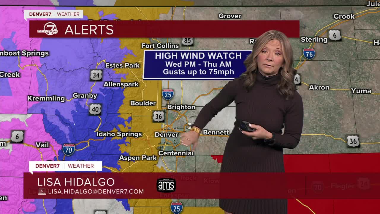
Temperatures will climb into the mid 50s across the metro area, but wind gusts near 35 mph will make it feel more like 40s. Fire danger won't be as high across the northeastern plains,k but there are still a number of Red Flag Warning for the southeastern plains.
Winter weather warnings and advisories are still in effect for the mountains through early Thursday morning. Most areas will see between 1 and 2 feet of new snow throughout this period with a third round of snow on Friday.
A cold front will swing through the state Wednesday evening, bringing the possibility of a few showers to the Denver metro area and northeastern plains. It won't be much but you could see a bit of a rain/snow mix. The best chance of accumulation will be across the far northeastern plains near Sterling and Fort Morgan.
With this front, temperatures will cool significantly Thursday and Friday. Look for highs in the mid 30s to low 40s, as these will be the first below-average days this February.
Seasonal and sunny conditions are back for the weekend along the Front Range with another warming trend possible heading into early next week.
DENVER WEATHER LINKS: Hourly forecast | Radars | Traffic | Weather Page | 24/7 Weather Stream
Click here to watch the Denver7 live weather stream.
