



Tonight will be quiet with mostly clear skies and mild overnight temperatures, making for a comfortable evening across the area.
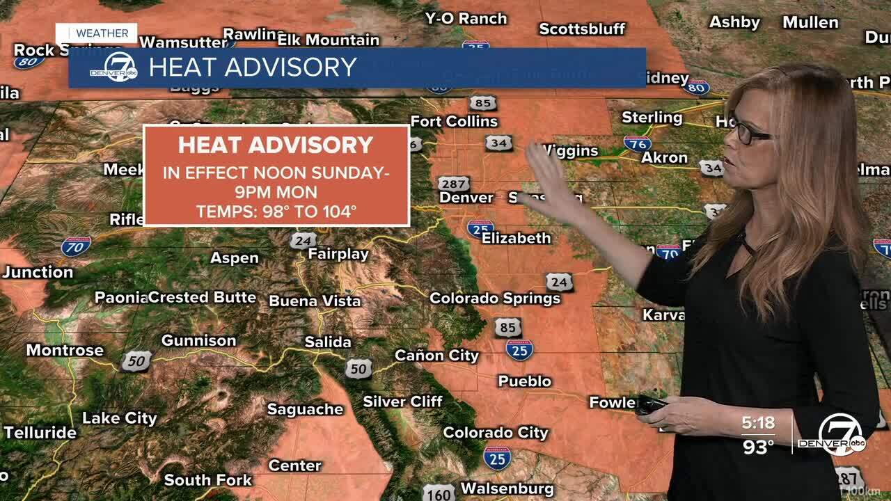
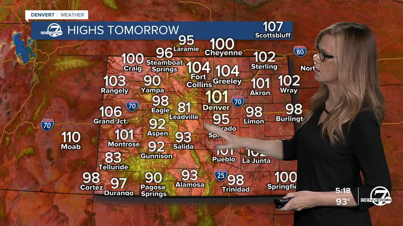
Heat quickly builds back in on Sunday as plenty of sunshine pushes afternoon temperatures into the upper 90s and lower 100s across the plains. A Heat Advisory goes into effect at noon for the I-25 corridor and remains in effect through late Monday evening. If you'll be spending time outside, be sure to stay hydrated and take breaks from the heat.
Monday looks like another very hot day, although there's still some uncertainty about exactly how warm it will get. A cold front is expected to move through sometime during the day, which could bring some relief to northern areas earlier, while locations farther south are still likely to climb into the upper 90s and lower 100s.
A noticeable cooldown arrives Tuesday behind the front, with highs falling back into the 80s for many locations. Wednesday will be a little warmer, with temperatures returning to around 90 degrees. There will be a slight chance of a few afternoon showers or thunderstorms both days, but most places will stay dry.
Looking ahead to the end of the week, warm and generally dry weather is expected to continue. Temperatures will gradually climb again Thursday and Friday, with plenty of sunshine and only limited chances for any meaningful rainfall.
.
DENVER WEATHER LINKS: Hourly forecast | Radars | Traffic | Weather Page | 24/7 Weather Stream
Click here to watch the Denver7 live weather stream.
