

It's going to be a beautiful spring day across Colorado. Temperatures will be a touch cooler than yesterday across the northeastern plains as a weak cold front swings through. We'll see lots of sunshine early on, with 50s for the morning commute.
Despite the cold front, today will still be a warm day with afternoon highs near 80 degrees along the Urban Corridor and that's about 10 degrees above normal. We'll see plenty of upper 60s to even some low 70s in the Colorado high country.
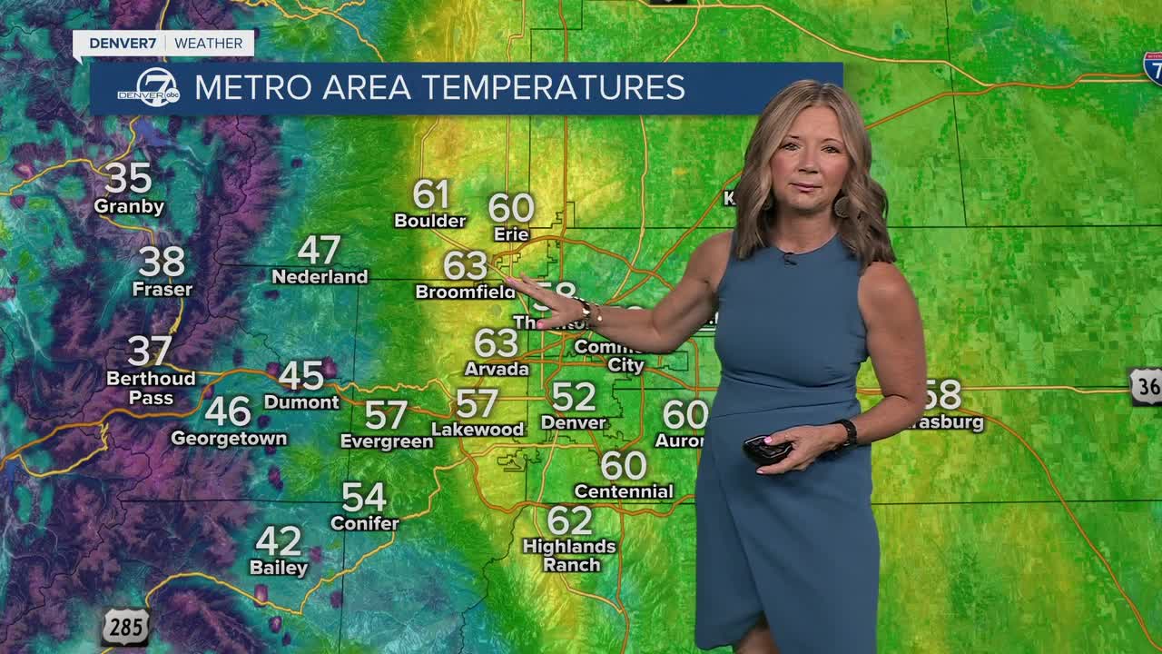
☀️ Watch the forecast:
A ridge of high pressure ramps back up again mid-week, bringing some serious summer-like heat to the Front Range. Highs will skyrocket back into the upper 80s, possibly flirting with 90-degrees in the Denver metro area. The current record high is 90-degrees, last set in 1915.
Besides the heat, we could see a few afternoon showers and storms Wednesday along the I-25 corridor and eastern plains. So far, it doesn't look like we'll see any severe cells in the Denver metro.
The warming trend continues throughout the week with highs soaring into the low to mid-80s under mostly sunny skies.
It'll be a warm start to the weekend, but we'll see increasing clouds on Saturday and a chance of storms on Sunday.
So far, it looks like another round of rain and more seasonal temperatures will return to the region next Monday.
DENVER WEATHER LINKS: Hourly forecast | Radars | Traffic | Weather Page | 24/7 Weather Stream
Click here to watch the Denver7 live weather stream.
