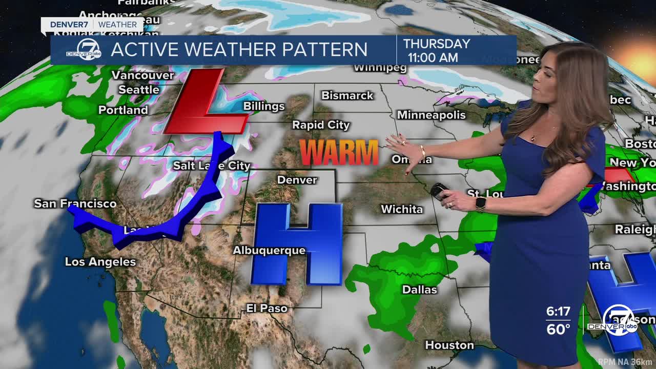


DENVER — It's the warm before the next storm, Colorado! A ridge of high pressure continues to build across the state Thursday as temperatures soar into the upper 60s to low 70s ahead of the next blast of winter weather.
Tonight, look for mostly clear skies statewide with comfortable overnight lows in the low to mid 30s.
Unfortunately, fire danger returns along with the March heat Thursday. A Red Flag Warning is in effect from noon to 6 p.m. for areas south of Interstate 70 for 50 mph wind gusts, 5 to 15% humidity values and unseasonably warm temperatures in the 70s to near 80-degrees in far SE Colorado.
Late Thursday night, a more powerful winter storm will swing into Colorado ushering in heavy mountain snow and a bit of a rain/snow mix to the Interstate 25 corridor and plains. So far, it looks like it'll be a slushy and snowy Friday morning (and evening) drive across the city with possibly 1 to 3 inches of accumulation in Denver.
A Winter Storm Watch is in effect for the Front Range mountains for 6 to 14 inches of new snow starting late Thursday night into Friday night. Gusty winds will make travel extremely treacherous with blowing and drifting snow along the higher mountain passes.
A Winter Weather Advisory is in effect Thursday night through Friday night for the Front Range foothills for 4 to 10 inches of new snow as well as Vail, Aspen and Snowmass. The Park and Elkheads could see 4 to 10 inches along with Rabbit Ears Pass and the Flattops.
Warmer, drier and sunnier weather returns for the weekend and into early next week.
DENVER WEATHER LINKS: Hourly forecast | Radars | Traffic | Weather Page | 24/7 Weather Stream
Click here to watch the Denver7 live weather stream.
