


DENVER — Cloudy skies stick with us through tonight with overnight lows falling to around 50 degrees in Denver.

On Saturday and Sunday highs will reach the low to mid 80s during the day, and we are expecting dry conditions for metro Denver. There could be a few isolated showers in the mountains this weekend though.

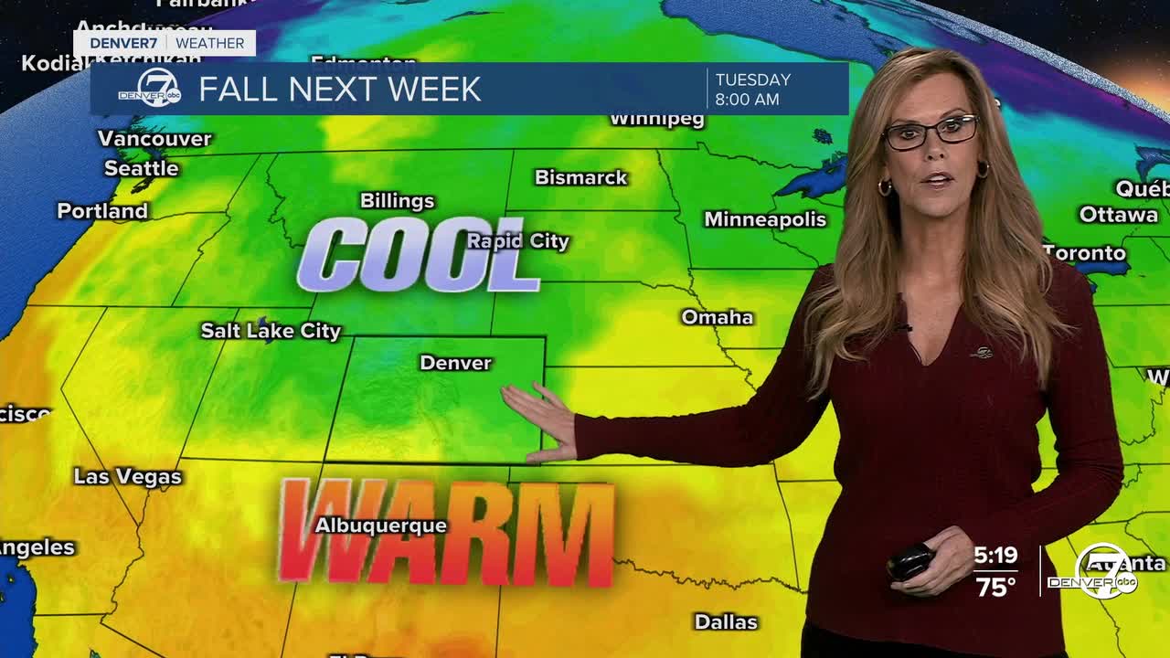
Early next week is when things will change. A storm system is expected to move through Monday into Tuesday, but it's still a bit unclear exactly where it will go. Either way, it looks like we’ll get cooler weather and a better chance for rain starting late Monday. Tuesday might bring more light, on-and-off showers- especially in the morning for metro Denver.
Because of the cooler air with this system, snow could fall in the higher mountains, maybe as low as 9,000 feet. Down on the plains, it’s going to get noticeably cooler, likely in the 60s by Tuesday. It probably won’t be cold enough for frost that morning, but by Wednesday morning, a few chilly spots could see some light frost if skies clear out.

After that storm moves on, the weather will start to warm up again. It may be a slow warm-up, but by Thursday or Friday, we should be back to more normal temperatures for this time of year. So expect cooler days early in the week, then a return to pleasant fall weather by the end.
DENVER WEATHER LINKS: Hourly forecast | Radars | Traffic | Weather Page | 24/7 Weather Stream
Click here to watch the Denver7 live weather stream.
