


DENVER — Expect overnight lows near 50 degrees tonight for the Denver metro area, and mostly clear skies.
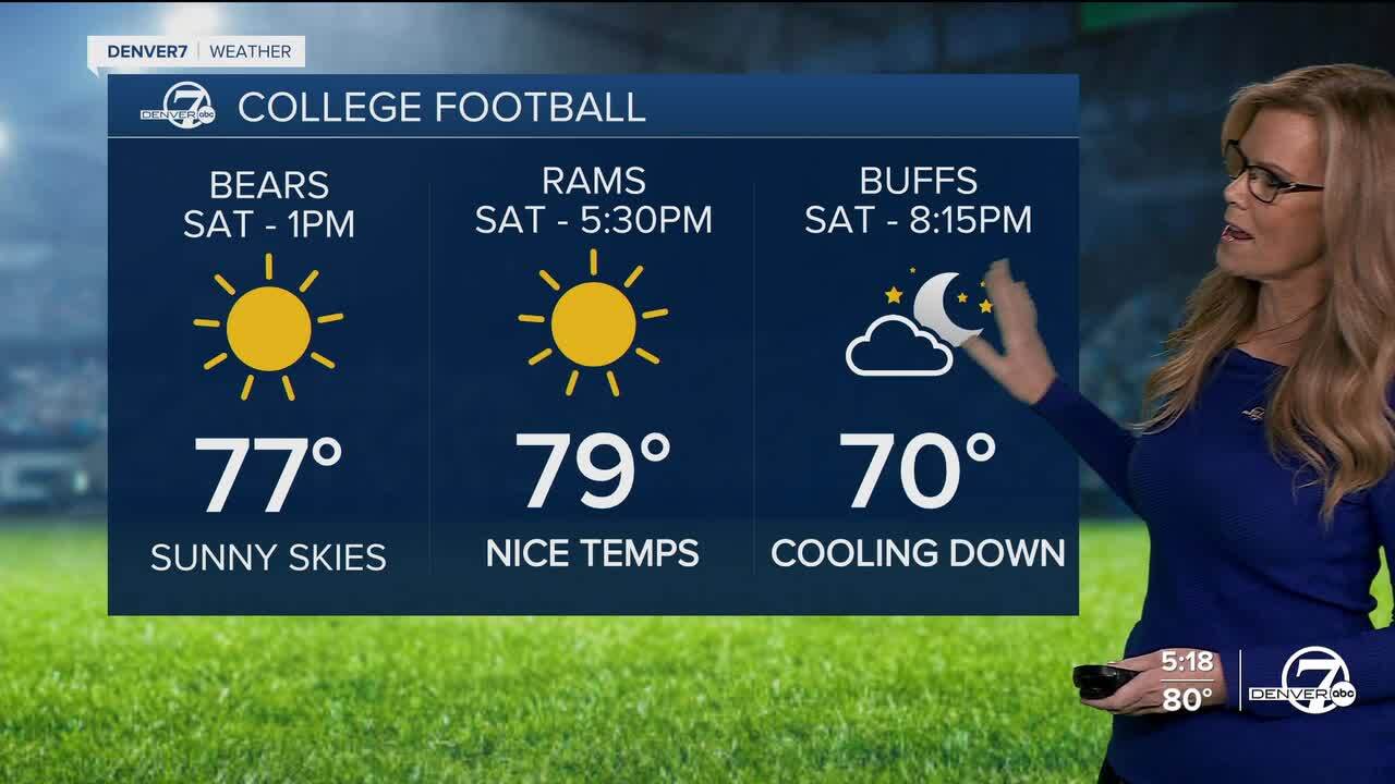
Highs on Saturday will still be a bit above average, mostly in the upper 70s and low 80s along the plains and I-25 corridor. Skies will stay mostly sunny, and overall it’ll be a pleasant early fall day.

On Sunday, the weather pattern begins to shift. A ridge of high pressure moves east, allowing some moisture to work its way up from the south. This means a better chance of showers and a few storms, but mostly for the mountains. Lower elevations will likely stay dry, though a brief sprinkle or a weak, high-based storm could pop up here or there.
By Monday, we’ll see an uptick in rain chances as a weak disturbance moves through. Expect more clouds, a bit more moisture, and a better shot at scattered showers and a few thunderstorms making their way onto the plains. It still won’t be a washout, but there’s definitely more action in the skies compared to the weekend.
Tuesday looks like a bit of a breather, although models are a little unsure about timing. The most likely scenario is a weak system moving through late Tuesday night into Wednesday, bringing another small chance for light showers or a couple storms. Moisture and instability stay limited, so anything that develops should be on the lighter side.
Later in the week, we’ll dry out again with sunny and mild conditions likely for Thursday and Friday. Another weather system could head our way sometime after that, but there’s still a lot of uncertainty about the timing and strength. Through it all, temperatures will stay a few degrees warmer than normal for late September , expect mid 70s to low 80s on the plains, 60s to low 70s in the foothills and high valleys, and 50s to low 60s in the mountains.
DENVER WEATHER LINKS: Hourly forecast | Radars | Traffic | Weather Page | 24/7 Weather Stream
Click here to watch the Denver7 live weather stream.
