



It's a windy and slick start to our day in the mountains as a weak system rolls through the region. We're seeing some breezy but dry weather across the plains for the Wednesday morning drive and those westerly winds are actually leading to some pretty mild early morning lows. You'll find 40s for the morning commute, which is about 10 to 15 degrees warmer than what we saw on Tuesday morning.
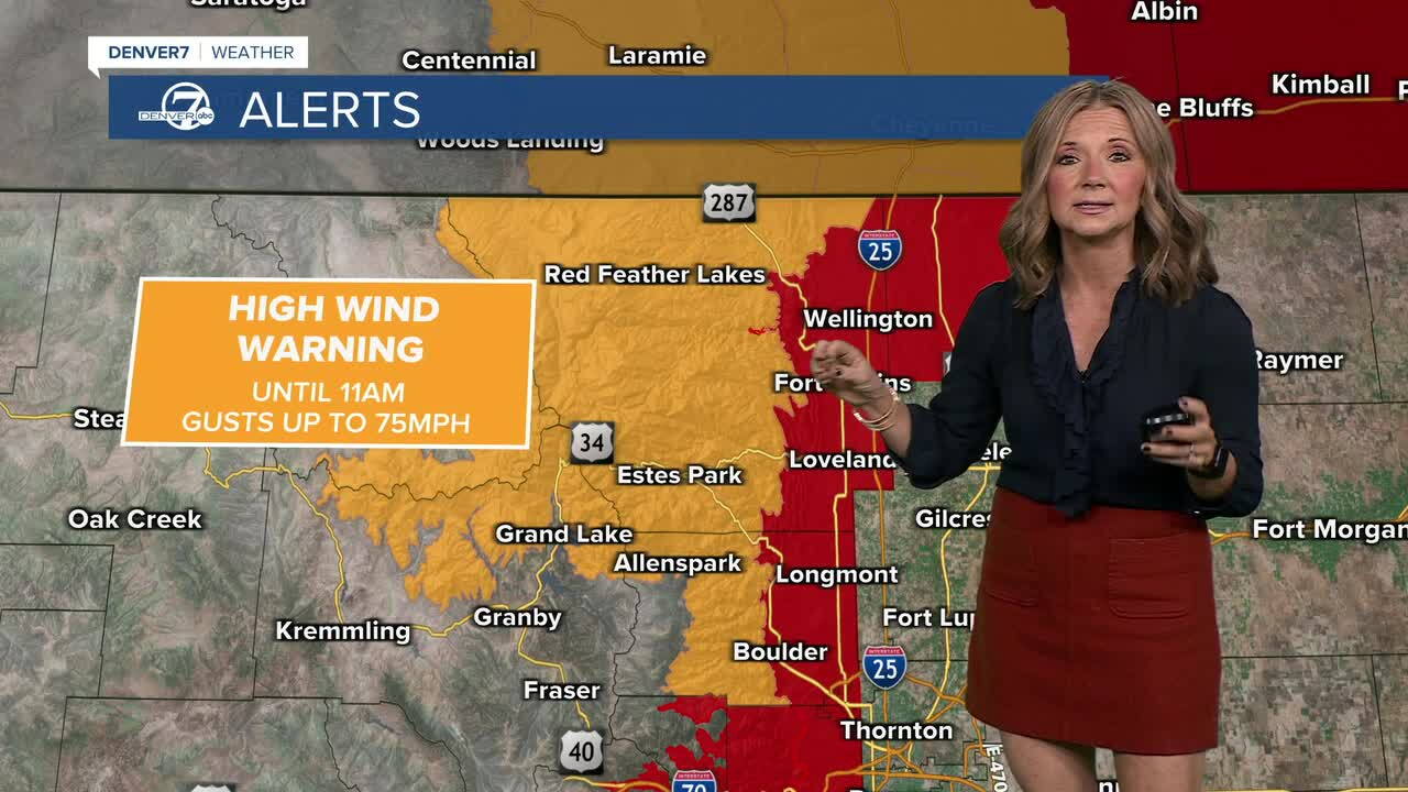
The strong winds will continue in the mountain through late-morning, with gusts up to 70+ mph gusts to parts of the Front Range. The strongest winds are expected between 7 am and noon on Wednesday, when gusts of 40-50 mph are possible.
The combination of strong winds and dry conditions will also create critical fire weather conditions Wednesday. That means any fires that develop could spread quickly, especially in areas seeing the strongest wind gusts. A Red Flag Warning is in effect for from 8 a.m. to 4 p.m. for the southern metro and parts of the Palmer Divide.
We'll see highs in the mid- to upper 50s which is still at least a few degrees above normal.
Thursday will bring a much-needed break, with lighter winds, sunshine and highs in the mid to upper 50s across the plains...but the quiet weather won't last long.
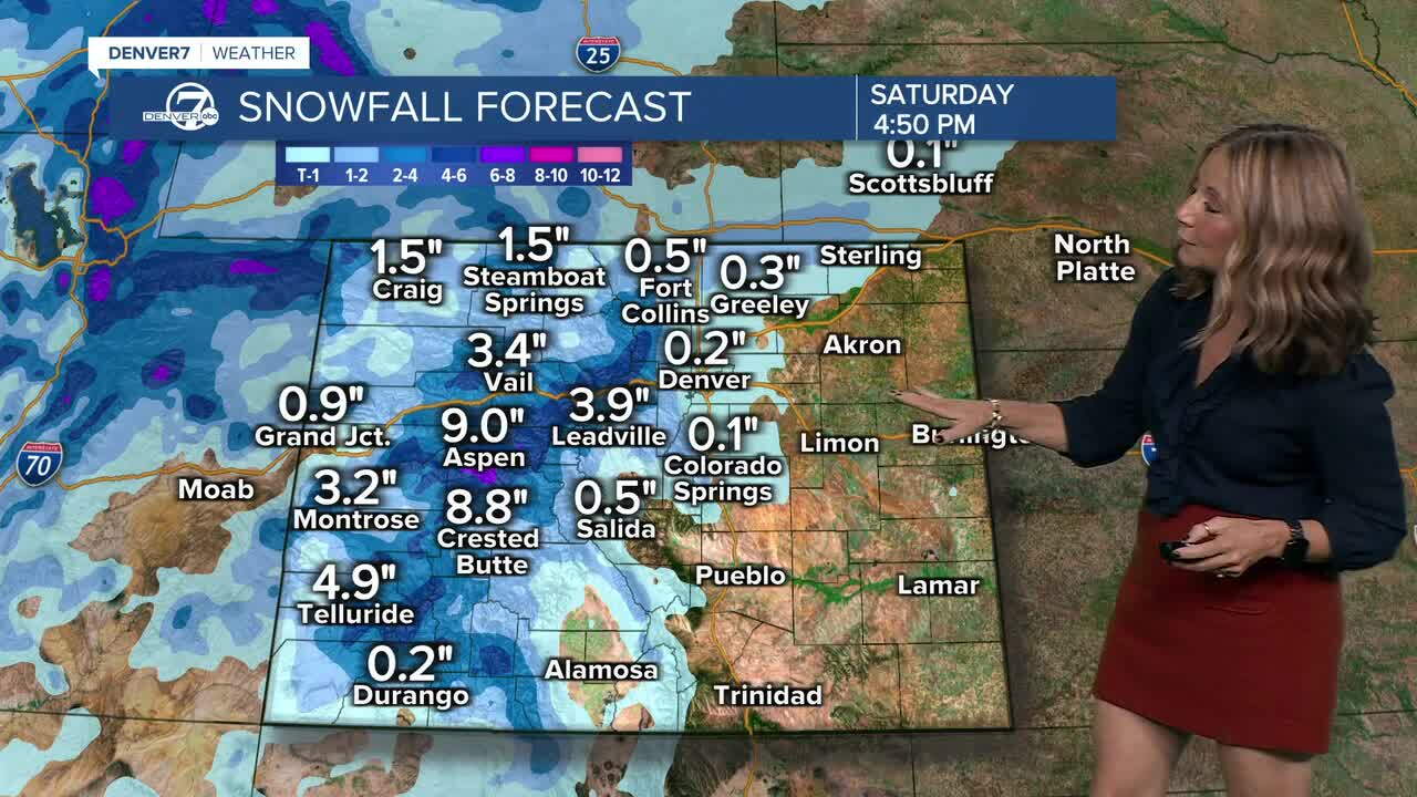
Another storm system moves in Thursday night into Friday, bringing additional snow chances to the central and northern mountains. We'll see heavier snow for the mountains and that will lead to slick roads but some fresh powder for weekend skiing and snowboarding.
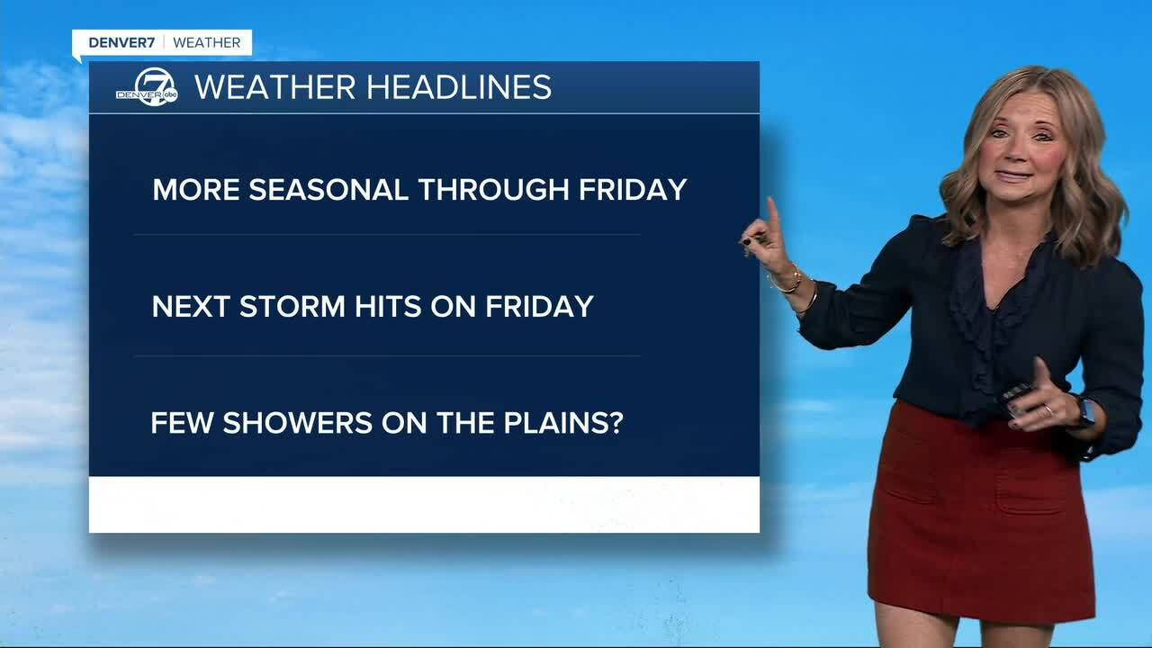
Light rain showers are possible across the lower elevations Friday night into Saturday morning, with even a few snowflakes potentially mixing in around the Denver metro.
Beyond Saturday, cooler-than-normal temperatures look likely through much of next week, potentially bringing our first prolonged taste of winter-like weather to the Front Range.
DENVER WEATHER LINKS: Hourly forecast | Radars | Traffic | Weather Page | 24/7 Weather Stream
Click here to watch the Denver7 live weather stream.
