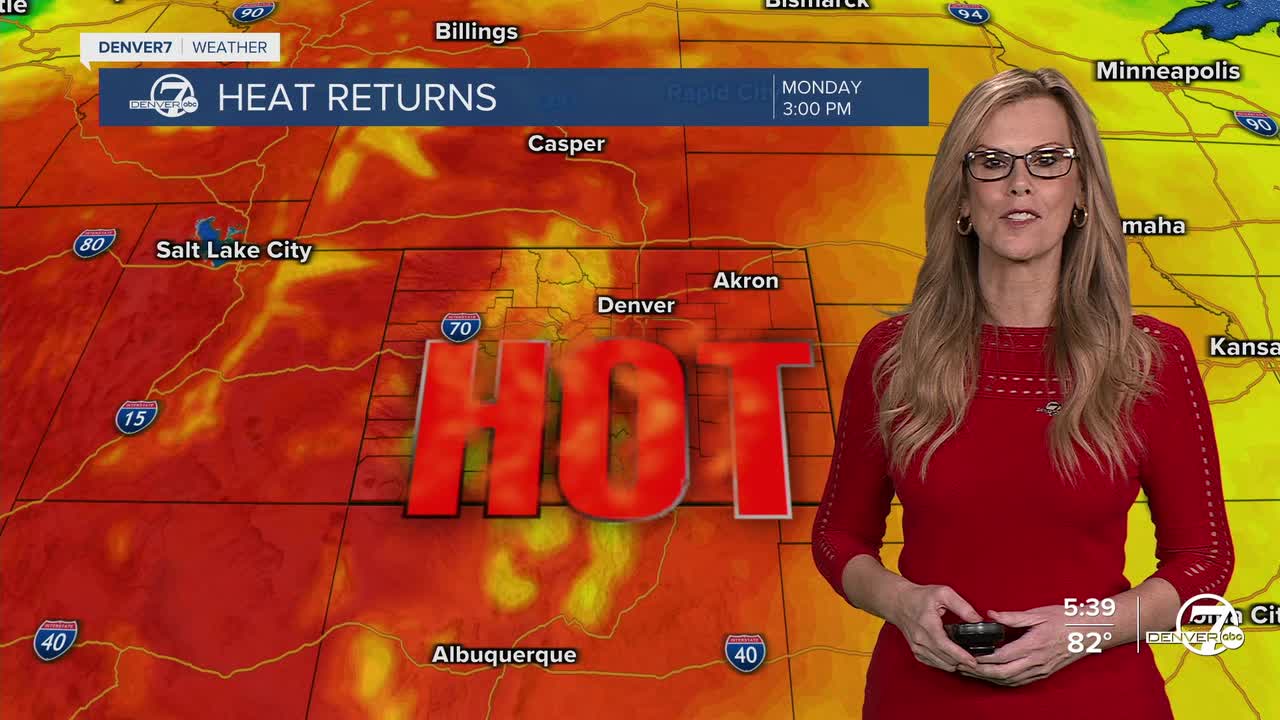


DENVER — Sunday looks to heat up again, with highs in the 90s expected across the lower elevations. There will be enough energy in the atmosphere for more storms to form over the mountains during the afternoon and early evening. These will mostly stay in the high country, and while they might be noisy with some brief heavy rain or lightning, they’re not expected to move down into the plains.

As we move into the early part of the week, we’re looking at a repeat pattern for Monday and Tuesday — warm and mostly dry across the plains, with afternoon storms bubbling up over the higher terrain. These storms might become a bit more widespread by Tuesday, but the details depend on how fast an incoming weather system reaches the region. That system is currently forecast to swing through the Pacific Northwest early in the week and could bring some changes our way.

By midweek, there’s a bit of disagreement among the weather models. One version suggests we’ll get a bit of a break from the heat starting Tuesday, while another holds off until Wednesday or Thursday. Either way, the trend looks like a quick cooldown midweek before we warm right back up again. Overall, the pattern supports more 90-degree days returning for the plains by late next week and possibly continuing into the final stretch of July.
For those flying in or out of DIA tonight, there aren’t any big weather concerns. A few boundaries near the airport might shift the wind direction around a bit through this evening, but no storms are currently expected to directly impact the area. Winds should settle into a typical nighttime drainage pattern by late evening, and skies will stay mostly clear with no cloud ceilings to worry about.
DENVER WEATHER LINKS: Hourly forecast | Radars | Traffic | Weather Page | 24/7 Weather Stream
Click here to watch the Denver7 live weather stream.
