

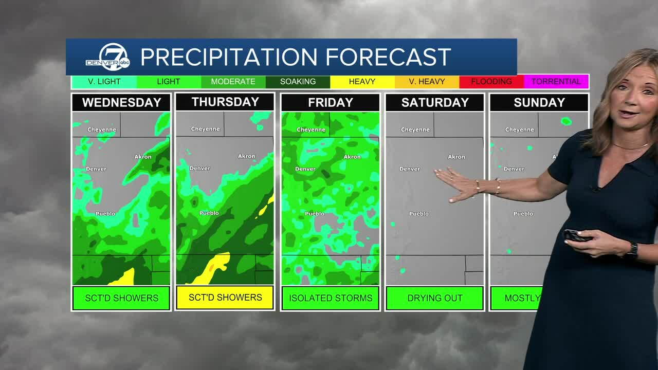


Happy Fall Colorado! Today will be the first full day of the season and it's going to be pretty seasonal across Colorado!
A wetter weather pattern is moving in and we'll see some cooler weather over the next few days. A disturbance moving through later today will help trigger a much better chance for showers and thunderstorms. Rain chances start to climb around Denver this afternoon, with a better bet of wet weather overnight.
And this time, heavy rain is the biggest concern...especially across southern Colorado. Temperatures will climb into the mid- to upper 70s across the Metro Area this afternoon, with upper 50s to mid-60s in the mountains.
Thursday will likely be the wettest day of the week. Showers and thunderstorms are likely along the Front Range. A few storms could dump heavy rain in a short amount of time. With widespread clouds and rain, temperatures will take a big tumble, with highs only in the upper 60s to low 70s. Rain chances should ease Thursday afternoon as the storm system moves out.
Friday brings a quieter setup, although a few mountain showers and storms will still be possible. Temperatures rebound into the upper 70s, then the weekend looks warmer and much drier with highs in the low to mid 80s. But don’t put the umbrellas away just yet — another system could bring cooler temperatures and another round of showers and storms by Tuesday.
DENVER WEATHER LINKS: Hourly forecast | Radars | Traffic | Weather Page | 24/7 Weather Stream
Click here to watch the Denver7 live weather stream.
