


DENVER — Skies have cleared across the state and temperatures have tanked. You'll find temperatures in the upper 20s to low 30s across the Denver metro area, with single digits and teens in the mountains. The winds have kicked up out of the north and that will make it feel even colder.

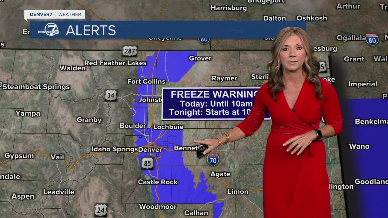
A freeze warning remains in effect until 10 a.m. and again from 10 p.m. Tuesday to 10 a.m. Wednesday. It will be even colder overnight!
We'll see mostly sunny skies across the state Tuesday, with highs in the upper 30s to low 40s on the plains. It's drier but chilly in the mountains Tuesday with highs in the 30s!
It will remain breezing Tuesday behind the cold front, especially across the plains where gusts may reach 30 to 40 mph.
It will be a cold start to our Wednesday, but we're in for a nice rebound that afternoon. We'll see highs in the upper 50s on Wednesday under a mostly sunny sky.
Looking ahead, the rest of the week stays dry and cool. By Friday, temperatures begin to warm back up, setting the stage for a milder weekend ahead.
Grab that heavier jacket, bring in your plants and get ready for the coldest stretch of the season so far!
DENVER WEATHER LINKS: Hourly forecast | Radars | Traffic | Weather Page | 24/7 Weather Stream
Click here to watch the Denver7 live weather stream.
