


Wow, what a weekend! Temperatures soared into the low 80s on Sunday, breaking not only the daily record high but also the all-time record for November at 83 degrees for Denver International Airport.

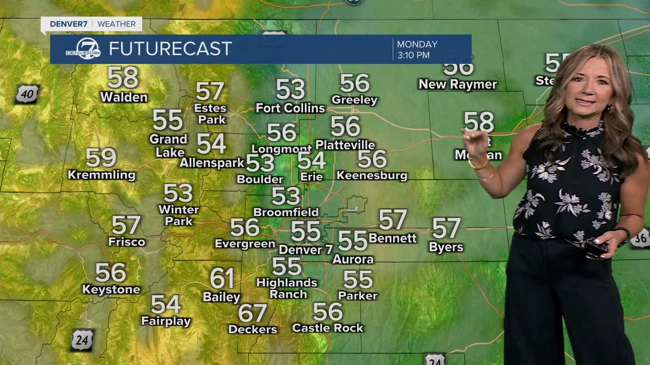
Temperatures will take a pretty big hit Monday as a cold front rolls through the region. Highs will only reach the upper 50s to low 60s across the plains, while the foothills and mountains stay in the 40s and 50s. Winds will pick up again by late morning, blowing from the southeast with gusts around 25 to 30 mph on the Eastern Plains. It's a lot cooler than Sunday, but spot on with what we normally see in early November.
By Tuesday and Wednesday, the warmth returns as the upper ridge builds back over Colorado. Temperatures will rise above normal once again, with mild and breezy conditions expected across much of the state. The higher terrain could see gusty winds up to 45 mph, especially near the foothills and in South Park, where humidity will dip into the teens. Fire danger will be something to keep an eye on midweek, though widespread critical conditions aren’t expected.
A weak system will roll through on Thursday and that will cool our temperatures down a bit for the Broncos game on Thursday night. We'll see highs in the upper 60s, with upper 50s by kick-off under a partly cloudy sky.
It gets even cooler this weekend. We'll see highs in the upper 50s to low 60s on Saturday and it's even cooler on Sunday!
DENVER WEATHER LINKS: Hourly forecast | Radars | Traffic | Weather Page | 24/7 Weather Stream
Click here to watch the Denver7 live weather stream.
