

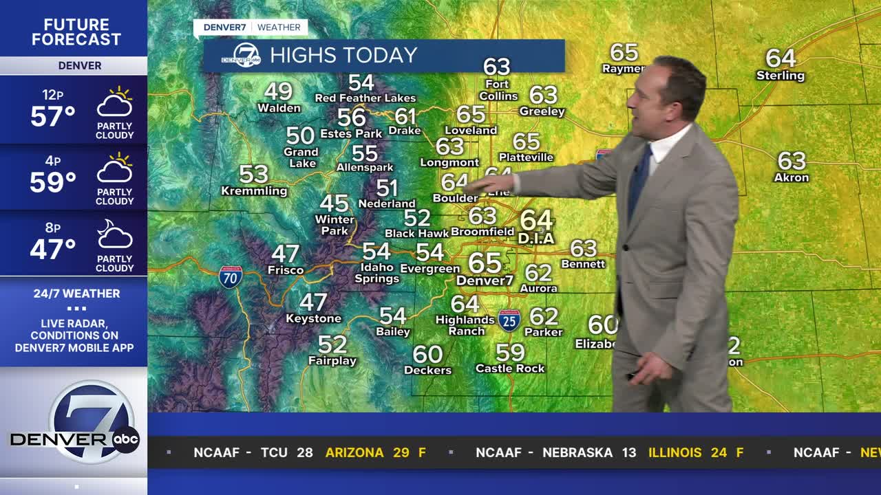



DENVER — A strong ridge of high pressure will keep rain and snow out of the state this weekend, and allow for a return to 60s for highs on both Saturday and Sunday. Today's high of 64 degrees will be 8 degrees above Denver's average high, that sits at 56 degrees.
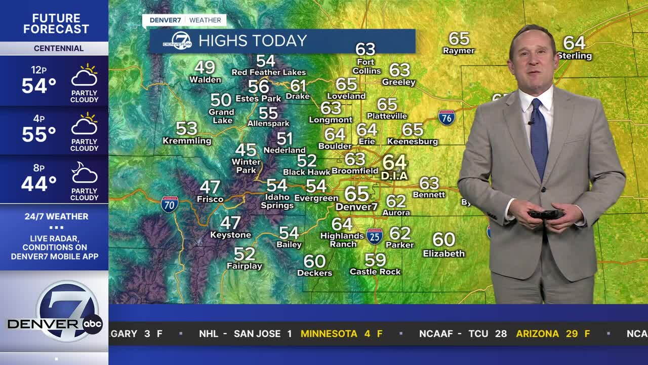
This evening, look for a few fair weather clouds to drift in from the north, putting us on sunset watch for the metro Denver area and Front Range.
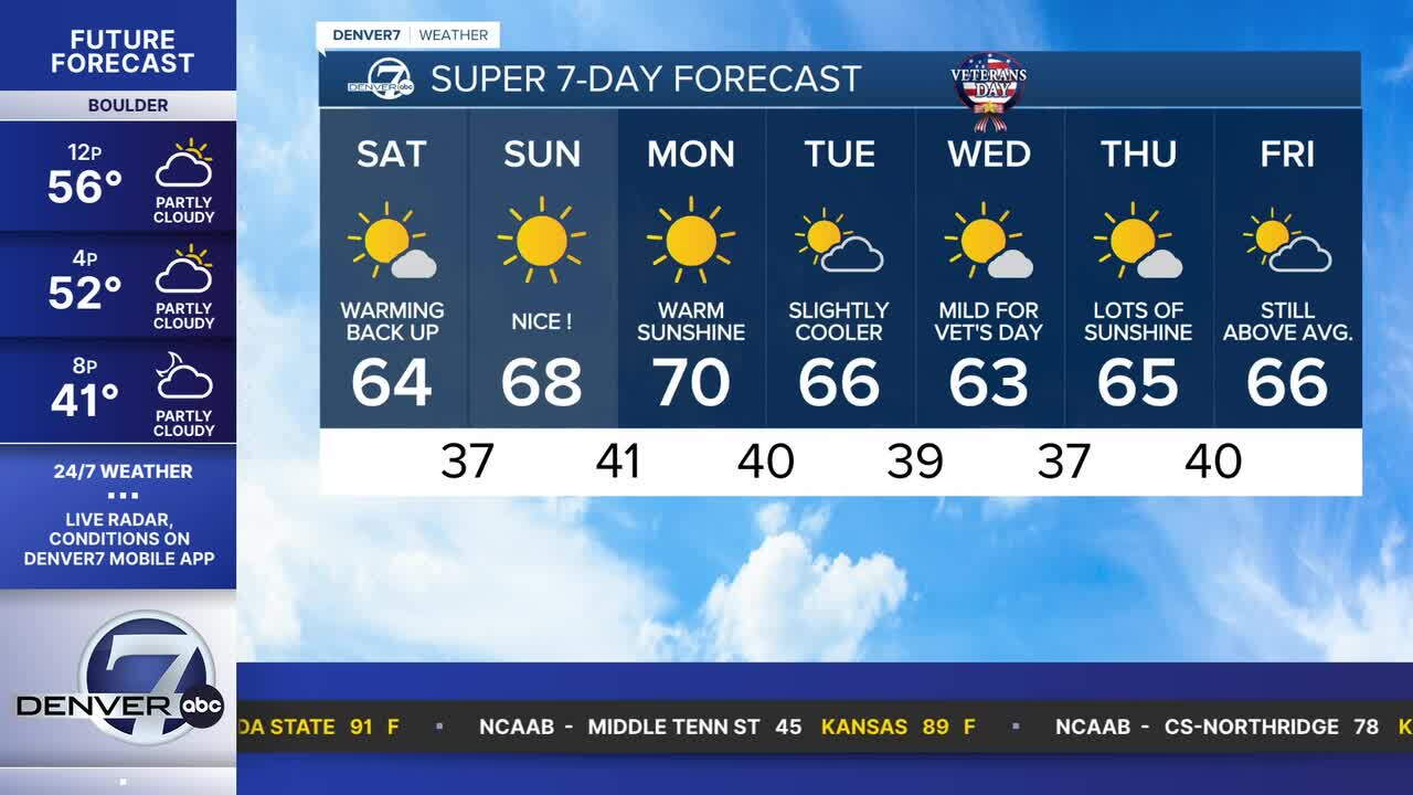
Sunday will be even warmer, with highs on the Front Range warming into the middle to upper 60s. If you're planning on any time on the slopes this weekend, temperatures will warm into the 40s both Saturday and Sunday, with light winds and sunshine both days. Don't forget the sunscreen!
Forecast models remain in strong agreement that the ridge will keep the storm track away from Colorado into early next week. Highs on Monday will warm into the 70s in some neighborhoods, and that will be around 15 degrees above seasonal averages.
By Tuesday, a weak front pushes in from the Plains, but brings very little change to our sleepy weather pattern. Highs will drop back down to the 60s for the rest of the week.
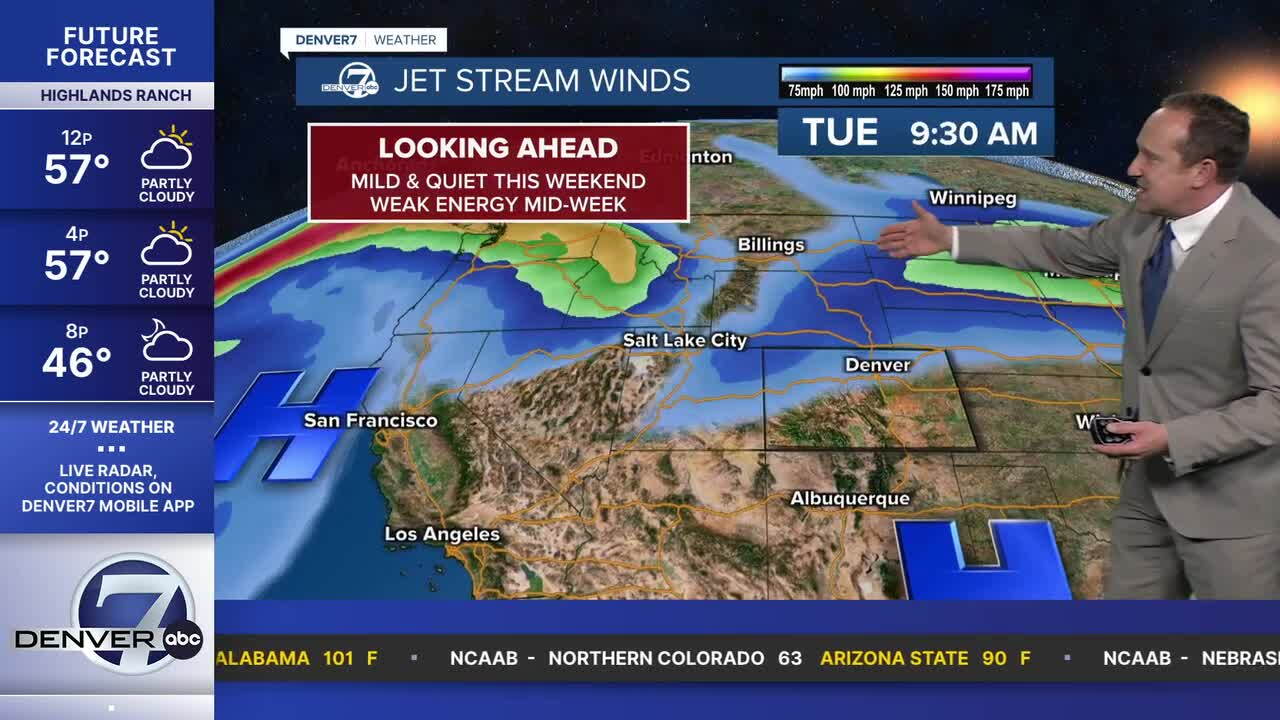
As for moisture, we just don't see any on the horizon for the Denver area through next Friday. Some forecast models show some moisture towards the end of next weekend, while others hold off on any rain or snow until the week of November 16-20.
DENVER WEATHER LINKS: Hourly forecast | Radars | Traffic | Weather Page | 24/7 Weather Stream
Click here to watch the Denver7 live weather stream.
