

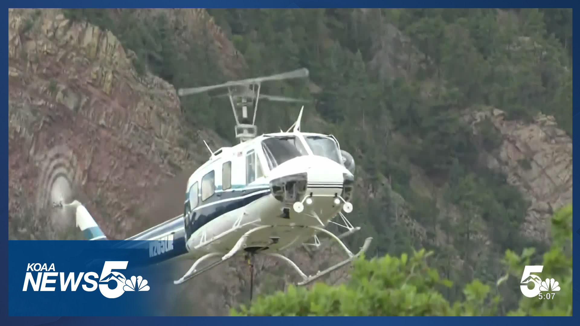



EL PASO COUNTY, Colo. (KOAA) — Update as of 9:00 a.m. Saturday:
The El Paso County Sheriff's Office says the Rock Creek Canyon Fire is 1000% contained.
Update as of 1:00 p.m. Friday
Acreage remains at 1.5 acres, but the fire is now 80% contained according to the El Paso County Sheriff's Office.
🔥Rocky Creek Canyon Fire Update🔥
— EPCSheriff (@EPCSheriff) July 10, 2026
SW HWY 115 Fire Protection District just updated the containment level to 80%, with lines holding and favorable conditions throughout the day.
Crews continue on the ground to ensure all hot spots are eliminated and the fire lines hold.
Update as of 5:00 p.m. Thursday
Acreage remains at 1.5 acres, but the fire is now 50% contained.
Firefighters also got some help from a goat to fight the fire.
- Watch News5's coverage of the goat helping out below:
Update as of 1:30 P.M. Thursday:
The fire remains at 1.5 acres in size and is 30% contained.
Update as of 12:25 p.m. Wednesday:
Pre-evacuations have been lifted according to the El Paso County Sheriff's Office. The sheriff's office says that the fire is 30% contained.
The El Paso County Sheriff's Office has LIFTED the PRE-EVACUATION WARNING for 1.5 mile radius of Rock Creek Canyon Rd. It is safe to return to the area. Thank you for your cooperation. https://t.co/UqfIKbKriu
— EPCSheriff (@EPCSheriff) July 8, 2026
Original coverage:
A pre-evacuation notice was issued early Wednesday morning for a fire burning southeast of Cheyenne Mountain.
The El Paso County Sheriff's Office (EPSO) says that around 8:15 p.m. on Tuesday, they received calls about a large amount of smoke in the Rock Creek Canyon area in El Paso County.
- Hear from the El Paso County Sheriff's Office about the fire below:
Multiple agencies responded to the call overnight and found a 1.5-acre fire.
EPSO issued a pre-evacuation notice to residents within a 1.5-mile radius of the fire. The pre-evacuation notice remains in effect and is available below:
The El Paso County Sheriff's Office has issued a PRE-EVACUATION WARNING for a 1.5-mile radius of Rock Creek Canyon Rd due to a FIRE near 1/3 mile north of 1350 Rock Creek Canyon Rd. Be prepared to leave. If you are in danger, EVACUATE NOW. If you need extra time or help to evacuate, consider leaving now.

The El Paso County Sheriff's Office held a press briefing on the fire on Wednesday morning. You can watch that below:
- WATCH: El Paso County Sheriff's Office talks about the fire burning near Rock Creek Canyon Road:
The sheriff's office says that additional crews have been requested due to high winds, forecasted thunderstorms, and a low chance of rain. As of Wednesday morning, there is a helicopter and a sky crane, as well as crews on the ground.
There aren't any road closures at this time.
Around 2:00 a.m., the Colorado Springs Fire Department (CSFD) said that the fire was estimated at around five acres and is burning heavy fuels, but that has since been adjusted by the sheriff's office.
There is a CSFD drone assisting with aerial assessment, and CSFD is coordinating with county resources.
Click here for alerts. This article will be updated.
Custer, El Paso, Fremont, and Teller Counties use Everbridge to reach community members during an emergency. To sign up in Custer and Fremont Counties, click here. To sign up in El Paso and Teller Counties, click here.
The 911 authority says that a new partnership with the ReachWell app will allow Peak Alerts to integrate seamlessly and allow for 130 different language translations. Reachwell does not require users to make an additional account or personal information to receive the alerts.
Once you have downloaded the ReachWell app follow these steps to get Peak Alerts through the App:
- Download the ReachWell App wherever you download apps or visit rwell.us/ElPasoCO and accept push notifications
- Select Preferred Language
- Add Peak Alerts
___

Right to Hunt and Fish? Amendment 83
____
Watch KOAA News5 on your time, anytime with our free streaming app available for your Roku, FireTV, AppleTV and Android TV. Just search KOAA News5, download and start watching.
