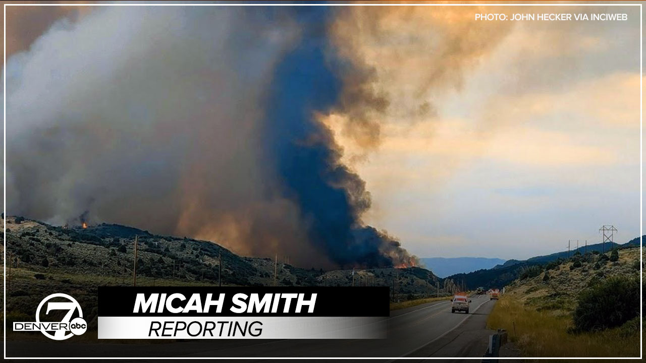


RIO BLANCO COUNTY, Colo. — As the Lee Fire makes history becoming Colorado's fifth-largest wildfire on record, experts report the fire is burning so hot, it’s created its own storm cloud.
"Quite a large thunderstorm was formed because of the heat from the Lee Fire,” explained Kyle Hilburn, research scientist at the Cooperative Institute for Research in the Atmosphere, which is part of CSU’s Walter Scott, Jr. College of Engineering. “Normally, it's the sun heating the ground which causes upward motions, and that can lead to the buoyancy and the convection that you need to get a thunderstorm. But now, fires are getting so large and so hot, they're creating so much buoyancy that it's providing these very strong updrafts that create strong thunderstorms.”

Wildfire
Colorado wildfires: Elk Fire containment jumps to 75% Tuesday
Hilburn said these thunderstorms create irregular winds making containment and suppression harder.
“So, it's a very dangerous situation where things can change very quickly and unpredictably. So, you put that in a situation of very complex terrain, and it makes a very challenging situation to suppress the fire,” Hilburn said.
He said fires like the Lee Fire are sparking more frequently.

Wildfire
Looking back at Colorado's top 10 wildfires as the Lee Fire climbs up the list
“It's actually getting to the point where we have so much burned area, it's actually restricting how much burning we're seeing now, because (the land's) already been burned,” Hilburn said.
He said now is a good time to start thinking about prevention and mitigation near homes, like removing vegetation, and creating conditions that can lead to less damage if a wildfire does pass through a property.


Denver7 is committed to making a difference in our community by standing up for what's right, listening, lending a helping hand and following through on promises. See that work in action, in the videos above.