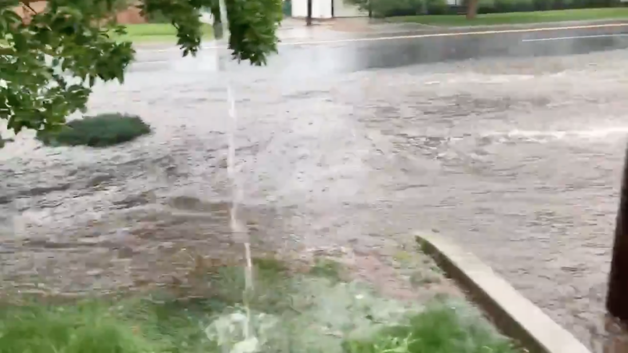
GREELEY, Colo. — Greeley saw the early brunt of the torrential downpours expected to hit parts of the Front Range on Thursday afternoon, with the Weld County city getting 3-4 inches of rain over the period of an hour, officials said.
The National Weather Service in Boulder had issued a flash flood warning for Greeley until 3:30 p.m. The strong storm was the result of a rain-cooled outflow boundary generated from strong convection, according to the weather service.
Heads up Greeley! Radar and rain gauge observations show up to 3-4" of rain in the last hour! We're starting to see reports of street flooding and stalled vehicles. If you come across flooded roadways, Turn Around, Don't Drown! #cowx pic.twitter.com/JGf7xrCvlt
— NWS Boulder (@NWSBoulder) July 1, 2021
Video from Anne Giles Delaney of the Greeley Tribune showed flooding in the streets and water rushing over the end of the street.
Flash flood warning in effect in Greeley this afternoon and we had heavy rain and a lot of water on 11th Avenue and at the intersection with 13th Street. #cowx #coloradoweather @NWSBoulder pic.twitter.com/s0pygZyKRc
— Anne Giles Delaney (@AnneGDelaney) July 1, 2021
There were no known rescues underway in Greeley as of 2:30 p.m. Thursday, though police warned drivers to stay out of flooded areas.
The Greeley Police Department said there was "significant flash flooding" between 11th and 8th Streets and from 14th Avenue east, all the way into downtown. They asked people to avoid those areas and take alternate routes.
The following roads are closed due to flooding:
— City of Greeley, CO (@greeleygov) July 1, 2021
🚧 10th St. from 11th Ave. to 12th Ave.
🚧 11th Ave. from 9th St. to 11th St.
Police told Denver7 Thursday afternoon that as of 4:15 p.m., they had 16 calls related directly to weather, with either flooding inside a building or people stuck in their vehicles being the reason for the call. The spokesperson added they did have "a number of people" stuck in their cars officers had to rescue, but the spokesperson did not provide any more information on a specific number.
There have been no injuries reported thus far, the police spokesperson said.
Much of the Front Range was under a flooding threat Thursday, especially in the mountain areas of Larimer County where burn scars from last year's massive wildfires can lead to heavy flooding.
A Flash Flood Watch, which means the conditions are favorable for flooding, extended to the Wyoming border to south of Colorado Springs and includes the foothills, Front Range and South Park until midnight due to slow-moving thunderstorms and heavy rain, according to the National Weather Service out of Boulder.
A watch is also in place until 6 p.m. for Interstate 70 through Glenwood Canyon for the Grizzly Creek Fire burn scar — an area that has already seen multiple mudslides in the past week. A full closure of the interstate is possible.


