DENVER – Denver's first taste of snow in 2020 wasn't much.
We saw flurries across the metro area late Thursday night and early Friday morning, but, to quote the morning forecast discussion from the National Weather Service in Boulder, the storm system "has been underwhelming to say the least."
Some light snow was all we expected in the Denver area, but the skies cleared out early Friday, and most of the snowfall was contained to the mountains and the far northeastern plains of Colorado.
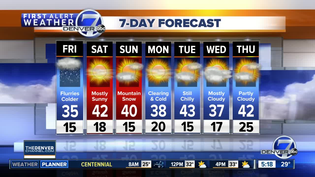
The forecasts on Thursday afternoon, via the NWS, began to shift to a drier outlook for Friday morning, with lessening snow expectations, and that turned out to be true for the Denver area. Friday did bring colder temperatures than we've seen this month, with highs in the mid 30s.
In the mountains, 24-hour snowfall reports on Friday morning were in the range of 1-2 inches along Interstate 70 and up to four inches in the northern mountains, near Cameron Pass, Rabbit Ears Pass and Steamboat Springs.
Saturday will be cold but dry across Colorado, with highs in the 20s in the mountains and upper 30s to low 40s in Denver and across eastern Colorado.
Sunday will be dry in Denver, with highs in the low 40s. Some light snow will return to the mountains with highs in the middle 20s to around 30 degrees.


