



DENVER — In the Mile High City, people travel from near and far to see the Colorado State Capitol and take a picture in front of the mile-high marker on the west steps. However, that special distinction is now going to be moved for a fourth time.
The reason why? Derek van Westrum, physicist with NOAA's National Geodetic Survey, explained as time has passed, technology has improved and more precise measurements are now possible through GPS. He said this research has been in the works for at least 15 years with teams collecting gravity data, testing models, and surveying. It's also led him to the Capitol steps.
▶️ Denver7's Maggy Wolanske explores why the marker is moving again
"The other thing we immediately thought was the mile high marker, that's the most famous benchmark, not only in Colorado, but maybe in the country. We're going to have to resurvey that and we love it," said van Westrum.

This not the first time the mile high marker has moved. Brian Shaw with NOAA's National Geodetic Survey, explained how over the decades, different calculations have taken place to distinguish the 5,280 feet above sea level.
"Our ability to measure heights and do survey measurements has continued to evolve over time and our ability to determine the accuracy of heights," Shaw said.
While researchers were hard at work surveying the steps, visitors were also a part of the equation stopping to take their pictures at the iconic stair sight in Denver. Doug Brodeen was visiting from Minnesota and had his camera in hand, snapping shots of the "One Mile Above Sea Level" distinction.
"My other half and I, we have a habit of visiting the state capitols, when we're in the state capital city. The marker itself is just, 'Hey, wow, I'm above sea level' and it's great," Brodeen said.
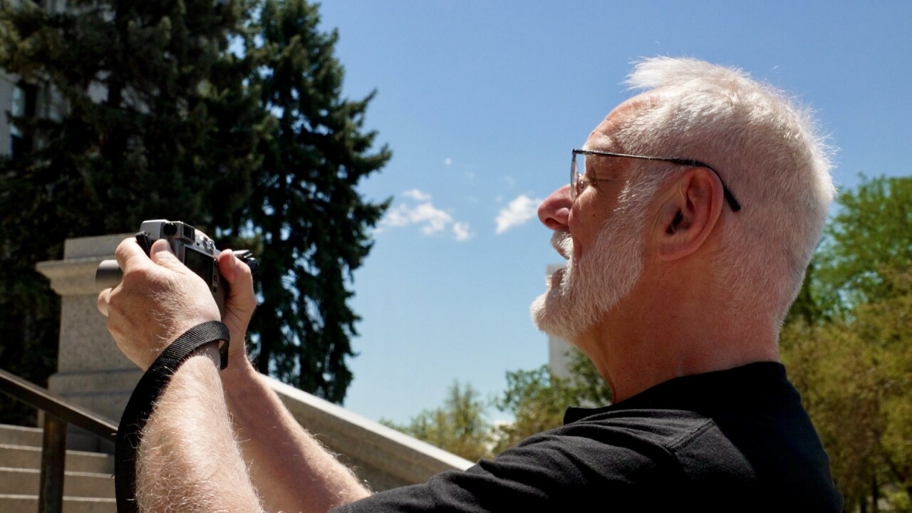
Brodeen heard the step was moving during a tour. Monday through Friday, free tours are offered on the hour with details about the architecture, our state's history and a look into the dome. Amanda Clapham, deputy manager of visitor services with the Colorado State Capitol, find immense joy in her job informing visitors about our government and the history inside the building.
"A lot of people walk by the Capitol. They see the Capitol from the outside, but they don't necessarily come in and I think they're often surprised by just the scope of this building and how incredible it is. I'm very lucky to get to work in a building like this every day," Clapham said.
Ever day, Clapham said she is asked the question: "Where are the mile high markers?" Visitors also want to know how they can see the distinction. With the marker moving again, it's new information now mentioned in their tours.

"I think it's wonderful. There's things about this world that are always the same, and even some of those things that are same are changing a little bit," Clapham said.
There are two U.S. state capitols that boast higher elevations than Denver: Santa Fe, New Mexico, and Cheyenne, Wyoming.
Now with the new measuring system in place, van Westrum said they will have a better understanding of local gravity across the nation — something that will help predict where water flows.
"This new system will probably be ten times more accurate, so the height differences like used to be kind of plus or minus a foot," van Westrum. "Now, they're going to be plus or minus a couple centimeters inch."

Colorado's 150th birthday is quickly approaching, and Clapham said they've been planning for over a year for the Aug. 1 celebration. As part of the festivities, there is mile high marker dedication at 10 a.m.
If you are curious before the official dedication, the NOAA team did mark a step with a sharpie of where the new mile high marker should go. Reach out below if you see it!
