


If you’re looking for a hike in the forest close to the Denver metro area, the Beaver Brook and Chavez loop is a good choice.
The lollipop loop starts just a mile off Interstate 70 in the foothills near Genesee at the Beaver Brook Trailhead. The newer parking lot has picnic tables, bathrooms, and trash cans. It’s also just a short walk to a bison overlook to search for Denver's bison herd that lives in the area.
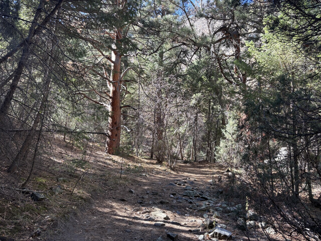
The Beaver Brook Trail — which is the "stick of the lollipop," if you will, meaning you use it to both leave and return to that parking lot — starts in the trees and you’ll quickly notice you are heading down in elevation. The trail drops about 100 feet over about half a mile, meaning you’ll have an uphill hike on the way out.

Just 0.4 miles down the trail, you will come to the turnoff for the looped part. You can hike it in either direction. For this hike, we planned to hike clockwise, so we stayed on the Beaver Brook Trail.
The trail winds through the forest, with a steady descent. You’ll know you’re near the bottom when the water crossings start. At the bottom, you will have hiked about 1,000 feet downhill.
There are eight bridges that cross Beaver Brook and a couple crossings with no bridges. If you’re here in the winter, microspikes or other traction devices will help in the icy areas.

There are several pretty cascades in this section of the hike and if the water is flowing, you’ll get to hear the sounds of the water rolling over the rocks.
One warning, in addition to water crossings: You will have to scramble over rock formations in a couple spots.
Around the three-mile mark, you will come to a trail split. To continue on the loop, turn right for the Chavez Trail. If you want to extend your hike, you can continue on the Beaver Brook Trail, which winds east about 4.5 miles to the Windy Saddle Park. There are plenty of places to continue on if you're eager for even more, including down Chimney Gulch Trail, up to Lookout Mountain, up to Mount Zion, or over to Buffalo Bill's grave.
At that turnoff, we continued on the loop.
Now, you’ll start to climb. There are places here with some steep drop-offs. You’ll also find some rock stairs. Take the time to enjoy the scenic canyon and the trees as you go uphill.
After 1.5 miles of climbing, you’ll come to a trail split for the Braille Trail. The Braille Trail had nature signs in Braille for the sight-impaired, but the signs were stolen several years ago. What remains is a black, guide cable for the sight-impaired to use. Hikers can go either direction here.
The Braille Trail ends at road. Take a few steps to the sign that says “To Beaver Brook Trailhead.” From here, it’s about an eighth of a mile back to the Beaver Brook Trail. Turn left and hike just under a half mile back to the trailhead.
DETAILS: The loop is about 5.5 miles with 1,100 feet of elevation loss and then the same for gain.
DIRECTIONS: Take I-70 to exit 253/Chief Hosa. Go north to the split and turn right on Stapleton Drive. It’s less than a mile to the trailhead parking lot.
If you have any questions, or hike suggestions, email me at HikingDebbie@gmail.com and find more great hikes by following me on Facebook at Facebook.com/DenverHikingExaminer.


Denver7 is committed to making a difference in our community by standing up for what's right, listening, lending a helping hand and following through on promises. See that work in action, in the videos above.