


Spruce Mountain is not your typical Colorado mountain. With just 600 feet of elevation gain, it makes a great hike for getting a workout while also being able to talk to friends.

The trailhead is less than three miles from I-25, just south of Larkspur. Make sure you get directions for Spruce Mountain and not Spruce Meadows, which is a nice prairie hike closer to the highway. Spruce Mountain is a hike through a forest of trees to a flat-topped mountain with views of the surrounding area.
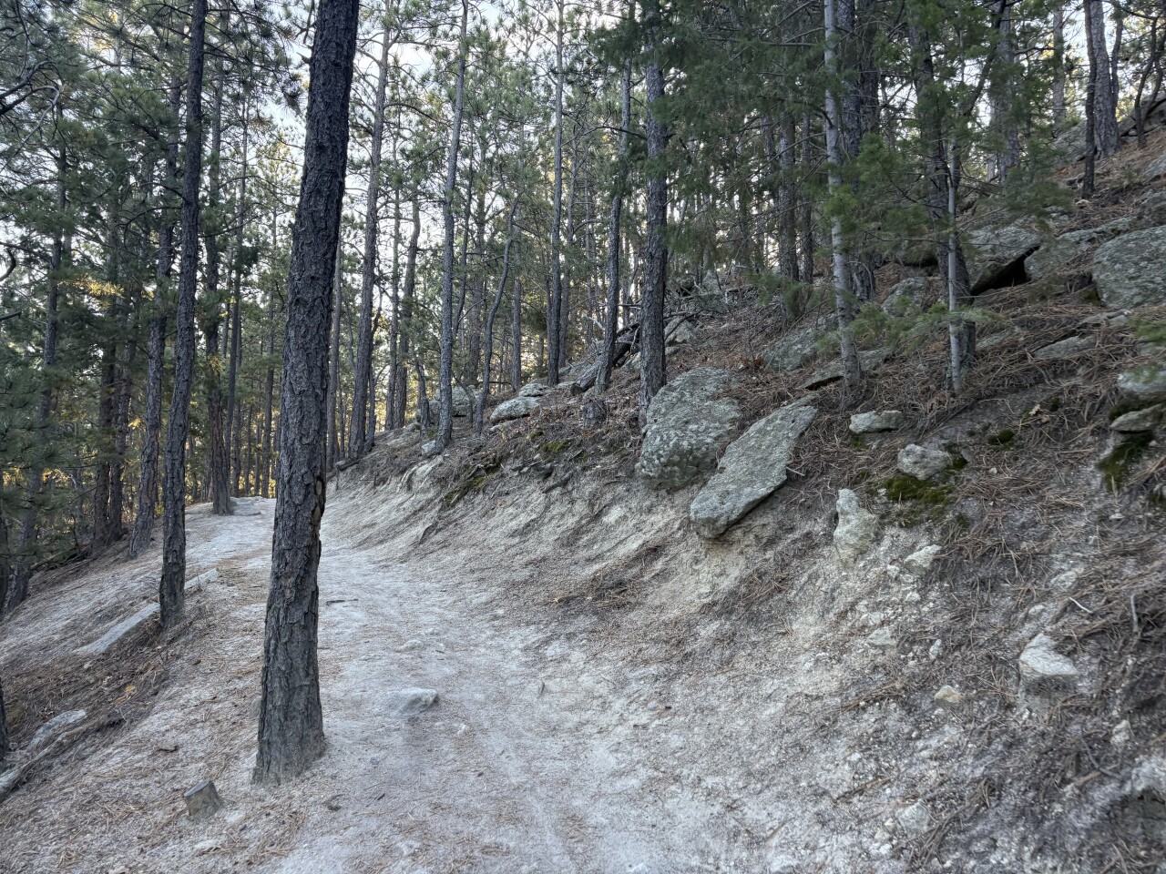
From the trailhead, take the trail out of the parking lot to the west. I typically turn left at the first trail split and use the Oak Shortcut to start heading uphill. There are a couple switchbacks through the fires and pines as you climb the mountain side. Along the way, you'll come to a spot with a lot of social trails — this is the Greenland Overlook with views to the south.
At the top of the mountain, the trail flattens out as you hike the Mountain Top Loop. You can go either direction, but we chose left, which is clockwise.
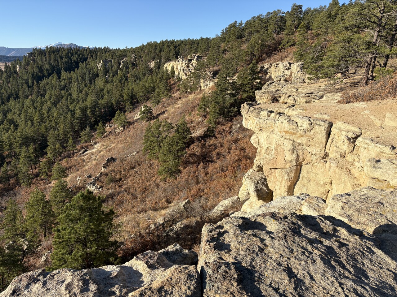
When the trail takes you close to the rock-rimmed sides of the mountain, you'll once again get views to the south. Look down below you, you may even spot a cave or two under the edge. However, it's best to stay on trail. The rocky areas are dangerous and a fall could lead to serious injuries.
The loop trail winds across the mesa top to Windy Point — another great view point. It's also the halfway mark (give or take a short distance) for the loop.
On the way back, you'll still wind along the mesa top through the trees. It's just a pleasant place to stroll, enjoy the forest and listen for birds.
Shortly, you'll come to a trail split for the service road. It's a steep downhill to what Douglas County calls, the "Scenic Eagle Pass Trail" because of the views of Eagle Mountain and the surrounding meadows.
If you continue on the upper loop, there's another place closer to the end of the mountain where you can also drop down to the Eagle Pass Trail. Maps on the free COTREX app can help you decide which way you want to go on the way back to the parking lot.
DETAILS: The main loop is about 5.5 miles with 600 feet of elevation gain. You may get a little more mileage depending on where you explore and which trails you take.
Get the map, address and more information on the Spruce Mountain Open Space website here.
If you have any questions, or hike suggestions, email me at HikingDebbie@gmail.com and find more great hikes by following me on Facebook at Facebook.com/DenverHikingExaminer.