



Crested Butte calls itself the "Wildflower Capitol" of Colorado. Visit here in the summer and you’ll likely agree. You don’t come to Crested Butte to see a few flowers — this is a place to see fields and hillsides of wildflowers.
One of the best places for flowers is Rustler’s Gulch. Not only will you see fields of flowers on the way to the trailhead, you’ll see many more on this hike into some of Crested Butte’s incredible wilderness and backcountry scenery.
The hike starts wherever your vehicle will take you. For some, that’s the large parking area on Gothic Road. Others can turn on the road to Rustler’s Gulch and go a tenth of a mile and park before the water crossing. High clearance vehicles may be able to drive through the water crossing, but when we visited in mid-July 2026, only two vehicles managed to get through the deep water. Even lifted Jeeps turned around.
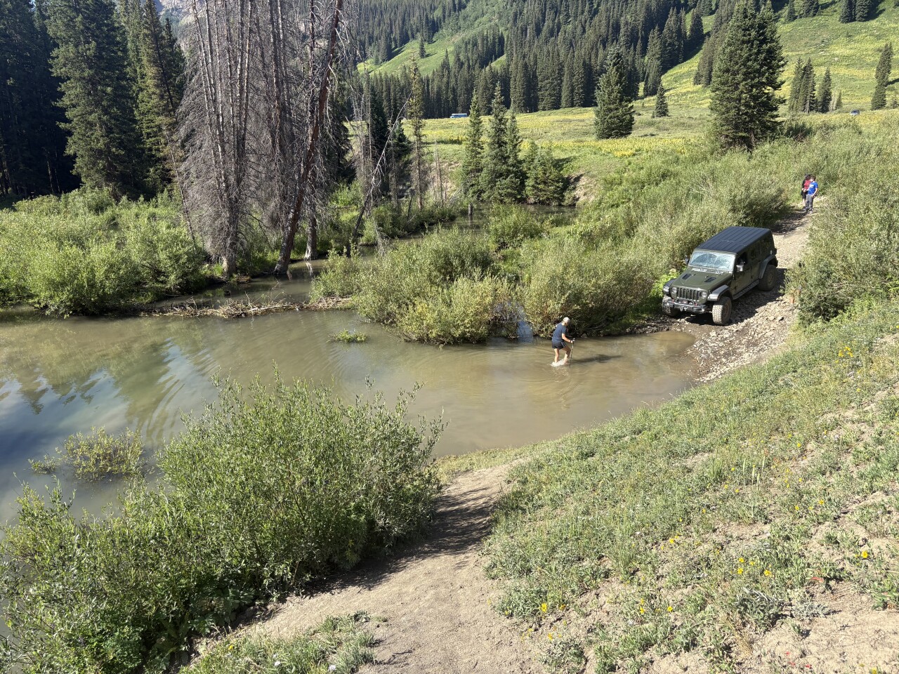
Let’s talk about the hike starting before the big pool. Hikers will find a trail around the left of the pool. You’ll likely have to take a trail up and down a steep hill, then change to water shoes to cross the big pool or try walking across a nearby beaver dam. However, even the dam is a bit sketchy, so I’ll put a note at the end of this post reminding you about the water shoes.
After crossing the water, pick one of the social trails through the willows to get you back on the road. Follow the road as it passes a large parking area and a sign for the Trailriders Trail/401, and heads uphill.
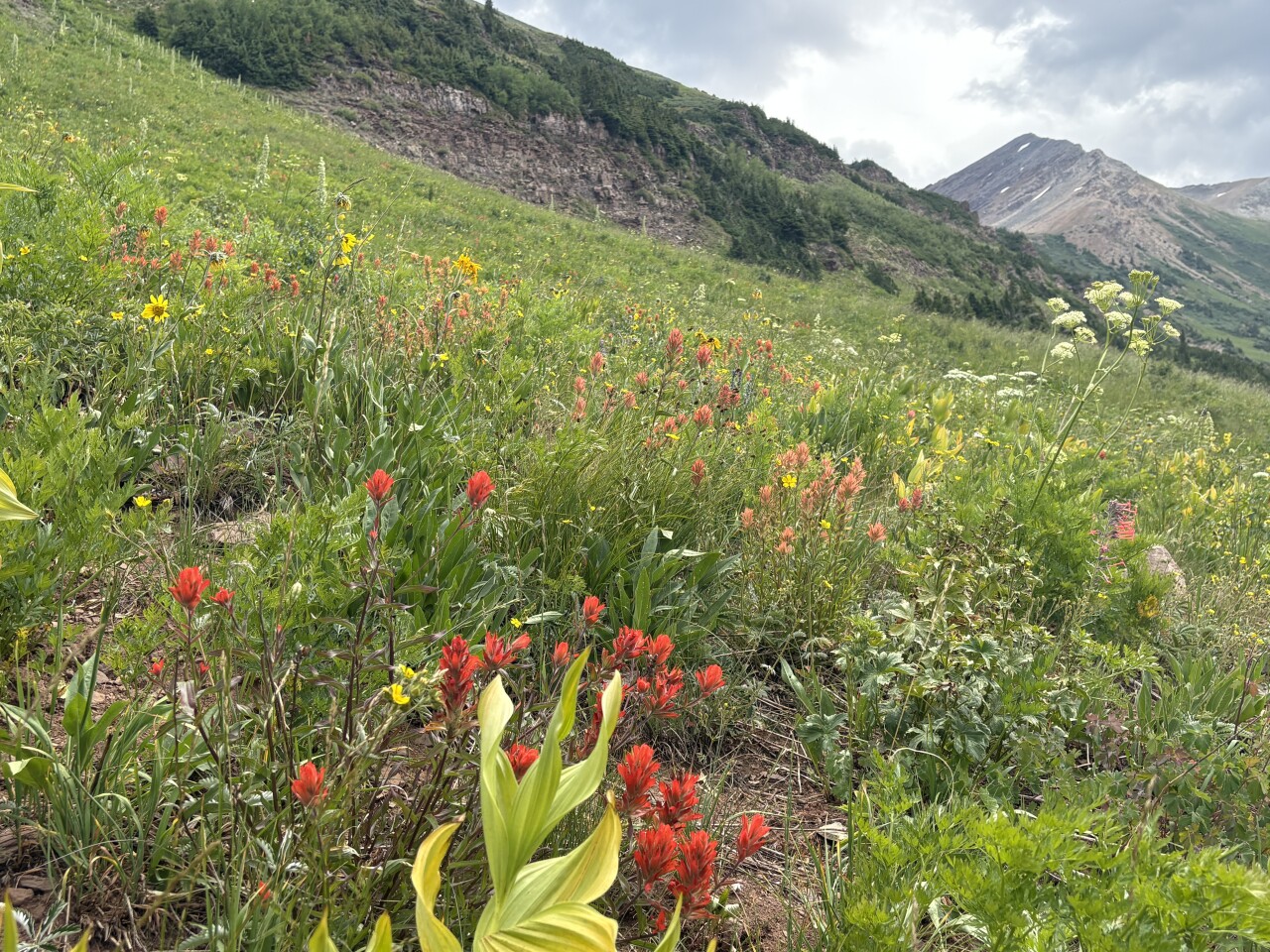
This first mile is steep. It gains about 550 feet. When you need to catch your breath, use the excuse of photographing the wildflowers filling the hillsides next to the road.
After hiking just over a mile, you’ll come to a turnoff. The road continues uphill to the left, but a small sign by a gate says Rustler’s Gulch Trail #599. This is your turnoff. There’s also a signboard with a lot of information. One sign warns about bears. We did see a bear, in the distance, on our way downhill. Another sign has a list of wilderness regulations, including putting dogs on leash.
After just a few steps on the trail, you’ll come to the official sign for the Maroon Bells Snowmass Wilderness.
While you've turned off the main road, you’ll quickly notice you’re actually still on a road — just an old one that hadn’t been used in years. Then again, you may not notice the road because you’ll likely be distracted by all of the wildflowers — corn lily, dwarf sunflowers, larkspur, lupine, cows parsnip, osha, monument plant, different colors of paintbrush, owlsclaw, vetch, fleabane, geranium and so many more.
Depending on the time of summer you visit, expect a few more water crossings. Most of the time there are rocks and/or logs to help you keep your feet dry, but a few might be high enough for you to consider wearing your water shoes again.
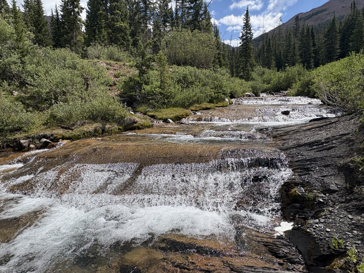
My favorite water crossing is about 2.4 miles from the trailhead. It’s a series of several small cascades.
You’ll continue hiking for about another half mile until you find yourself coming to treeline — an area where the trees stop growing. At this point, you’ll likely notice the amazing views in the valley to your right. You’re heading that way.
The trail crosses an avalanche path (with more water crossings), then goes up steadily as it heads into the upper valley. This is yet another spot with amazing hillsides of flowers. You may also notice the creek in the middle of a valley.
We met lots of people who turned around after seeing the view. One even said, “Oh, you’ll know it.”
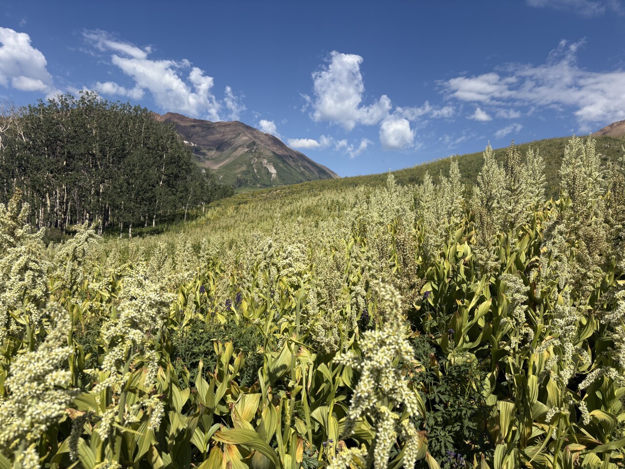
Well, we enjoyed the view, but there was more to come, along with some old mining equipment and a waterfall, so we kept going.
You’ll pass two restoration area signs and you may notice a trail split around 4.4 miles. While some people headed for the nearby white rocks here, another hiker told us it was just a quarter mile to more wildflowers and a waterfall. So we kept going uphill.
A tenth of a mile later, I noticed a piece of metal on the ground and a few steps later was a stone building. That stone building was an old boiler. There is also a steam engine nearby. After a couple pictures, we continued on.

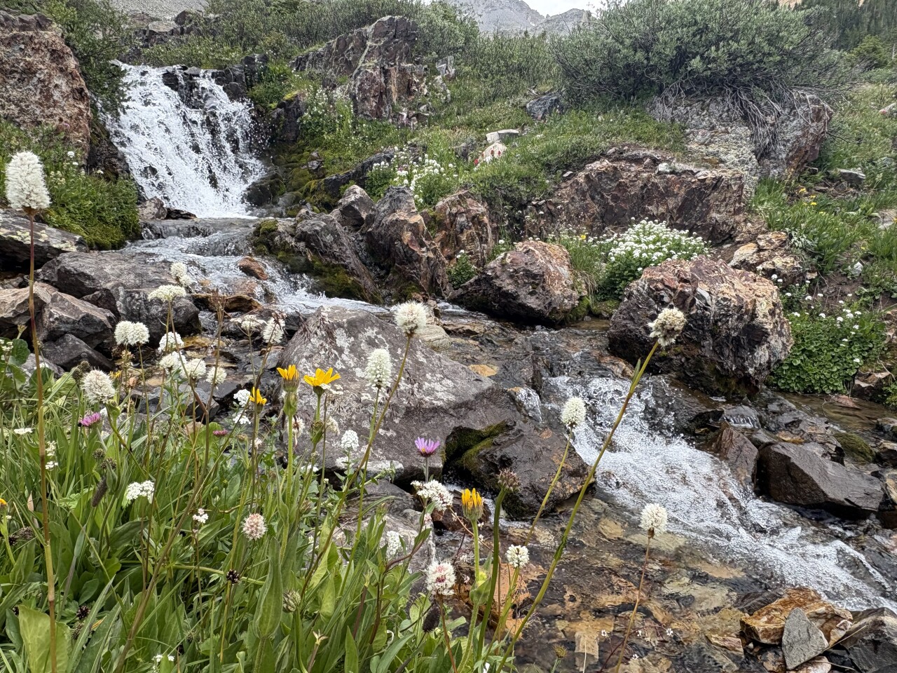
It wasn’t long until we spotted it — a nice waterfall with great flowers.
The waterfall has multiple drops above the trail, and below it. It’s worth taking a few minutes to walk around the area.
Then it’s time to have a snack and head back or go uphill a little further.
Details: The hike up the gulch to the waterfall was about 9.3 miles with 1,800 feet of elevation gain. Don't forget water shoes or be prepared to get your feet wet.
For directions: Google Rustler’s Gulch Trailhead. Be aware that the road turns to dirt right after passing through Mount Crested Butte. Check with the Crested Butte Visitor Center for road conditions.
If you have any questions, or hike suggestions, email me at HikingDebbie@gmail.com and find more great hikes by following me on Facebook at Facebook.com/DenverHikingExaminer.